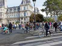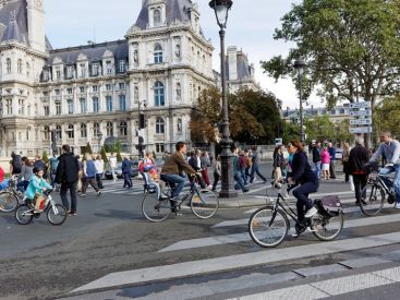
Tourists and Paris inhabitants regularly use Google Maps to take their bearings in this big city. The app used to struggle with flaws to walk in Paris, but the latest version has been improved. From now on, one can see more details, such as the location of traffic lights and crosswalks in the city.
The city of Paris is not the only city to enjoy a more detailed cartography, Brussels, Prague, Amsterdam and Budapest are also involved. It will definitely make pedestrians’ lives easier when walking across the city, especially for people in wheelchairs, or with a stroller, who can move more easily and avoid narrow streets and sidewalks.
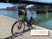
These new features on Google Maps enable a more complete application, the American company hoping to provide users with a quicker way to explore the city. The Vélib’ stations are also better listed in the city. Even car drivers can enjoy the improvements since the shape of roads with expansions and narrowing is more realistic.