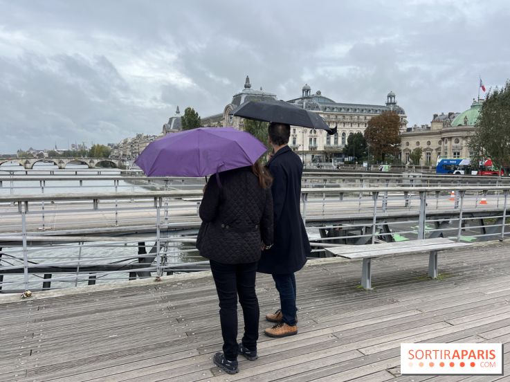
Thunderstorms and showers are on the forecast for Île-de-France this Thursday, June 4, 2026. Météo-France has placed the entire region under yellow weather warnings, with daytime highs around 16 to 19°C. Here’s everything you need to know.
Yellow thunderstorm vigilance is in effect for Paris and the Île-de-France region this Tuesday, June 2, 2026. A thundery system is marching from west to east, with showers and thunderclaps expected during the day, according to Météo-France.
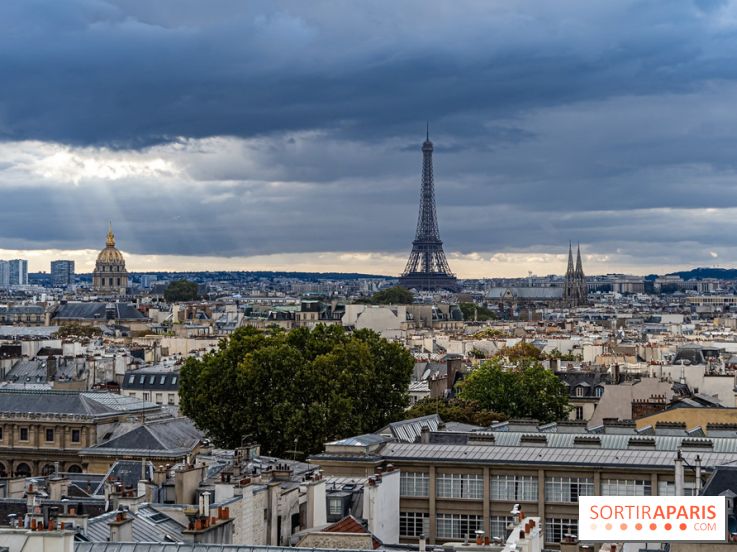
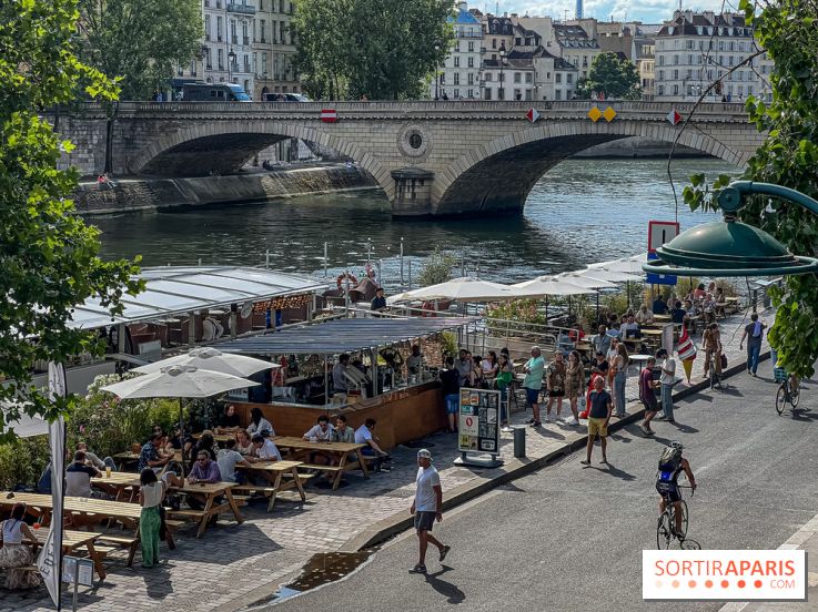
What’s the weather like right now in Paris and Île-de-France? Check the forecast daily before planning your activities. Rain or snow, sunshine or clouds—whether it’s cold or warm, good weather or bad—the city is yours to enjoy! Here’s your weather update for Paris and Île-de-France for Wednesday June 24, 2026
A major weather deterioration threatens France this week with the arrival of ex-hurricane Erin. While Paris and the Île-de-France region should be relatively unaffected by the most violent storms, rain and showers are expected from Thursday onwards. Here's an update on the forecast.
On Tuesday August 16, 2022, in the evening, an unexpected harsh storm hit Paris, flooding the streets in the blink of an eye. Since then, the Seine’s level increased by 35cm (13.77in) in comparison with the past few months.