Although May was cooler than last year, the return of the El Niño weather phenomenon has raised fears of much hotter months ahead, while Western Europe is already in the grip of drought.
It's not every day that the French sky lights up in this way: exceptional aurora borealis were seen during the night of Sunday 26 to Monday 27 February, and are expected again this evening.
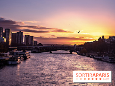
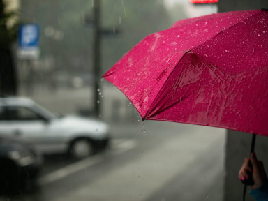
While an episode of exceptional mildness had settled in France, the cold is going to make its return in the country, and in particular in Paris and Ile-de-France where negative temperatures are expected at the beginning of next week. We take a look at the weather forecast for the Ile-de-France region over the next few days.
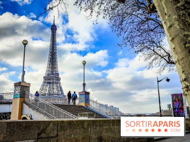
You have certainly noticed it: since February 1st, the temperatures are rising, but above all, there is a beautiful sun in our Parisian sky. Something to cheer up, even if the month of February has caused a great drought on the territory.
On Tuesday August 16, 2022, in the evening, an unexpected harsh storm hit Paris, flooding the streets in the blink of an eye. Since then, the Seine’s level increased by 35cm (13.77in) in comparison with the past few months.
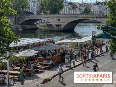
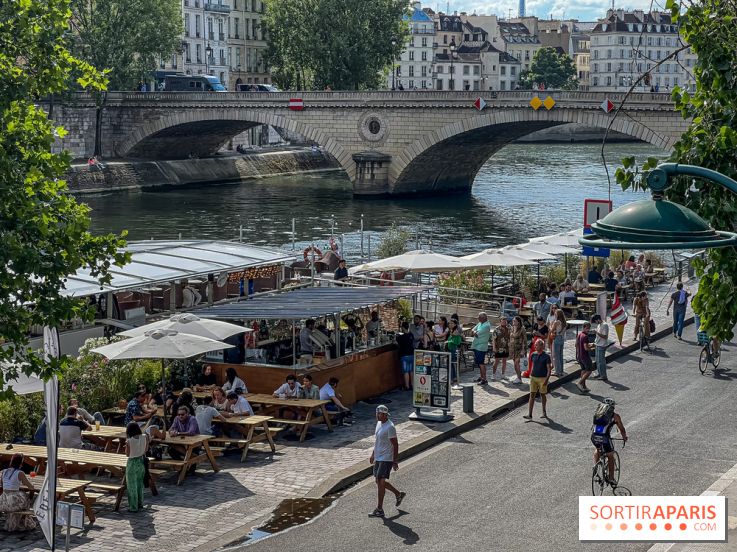
Shall one fear another heatwave before Fall? According to Météo France forecasts, temperatures are likely to rise again from Wednesday August 24, 2022, in the country.
Amid the heatwave, you better live in the suburbs than in Paris – according to Météo France. As a matter of fact, it is getting hot in Ile-de-France and the city is breaking temperature records.
During the latest heatwave, the city of Paris had to face very high temperatures, over 40°C (104°F). In a few years, over 50°C (122°F) are expected in the capital city and the town is preparing itself.
While Paris has declared to be in a “state of climate emergency”, a study says the climate in the French capital could be similar to the one in Canberra, Australia, by 2050.