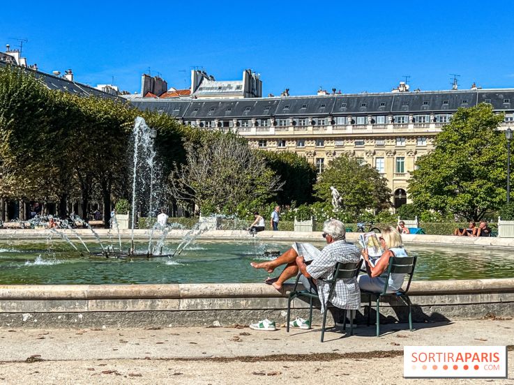
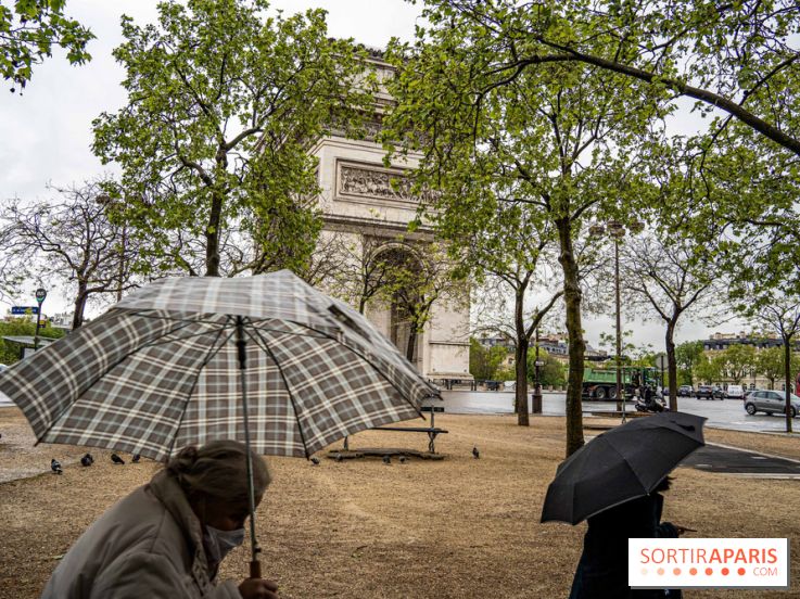
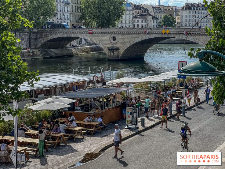
This early spring brings pleasant temperatures, albeit with plenty of rain. But this Saturday, April 6, 2024, temperatures will rise sharply, to 27 degrees in the Ile-de-France region, before dropping just as suddenly.
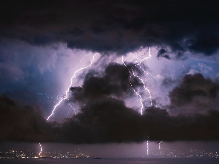
A new disturbance arrives in France. On Monday January 22, 2024, Météo France placed 42 French departments under yellow alert for high winds, including Paris and the whole of the Île-de-France region. We take a look at the arrival of storm Isha in the Paris region.
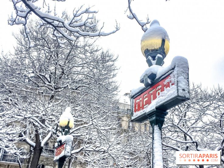
After a particularly mild end to 2023, the mercury is set to plummet this week, with sub-zero temperatures of around -5 degrees expected in the capital.
This Saturday, December 9, 2023, due to the day's weather, Paris City Hall has taken the decision to close parks, gardens and other green spaces to the public, until further notice.
It's hot, very hot in Paris for September. According to Météo France, the last record heat in the capital in September was in 2021, and the previous record dates back to the post-war years!
After a lackluster summer, the heat is back in the Paris region, with temperatures topping 30 degrees. Unlike the other départements, the capital has been placed on high alert.
A veritable deluge hit the city of Paris at the end of July, and the rain continues to fall. A far cry from the heatwave, the city saw its heaviest rainfall in nearly 20 years, with over 100mm of rain!
Although May was cooler than last year, the return of the El Niño weather phenomenon has raised fears of much hotter months ahead, while Western Europe is already in the grip of drought.
On Tuesday August 16, 2022, in the evening, an unexpected harsh storm hit Paris, flooding the streets in the blink of an eye. Since then, the Seine’s level increased by 35cm (13.77in) in comparison with the past few months.
Shall one fear another heatwave before Fall? According to Météo France forecasts, temperatures are likely to rise again from Wednesday August 24, 2022, in the country.
France is in the grip of record-breaking drought, with soils exceptionally arid. After another heatwave, rainfalls and thunderstorms are expected next week and likely to cause floodings in the country.
For a few days, some scientists only say one thing: “double jet-stream”. This atmospheric air flow could be the explanation of most heatwaves that occurred this summer in France, leading to dramatic fires and a very strong episode of drought. Here is more about that matter.
During the latest heatwave, the city of Paris had to face very high temperatures, over 40°C (104°F). In a few years, over 50°C (122°F) are expected in the capital city and the town is preparing itself.