Water restrictions tighten again in the Yvelines (78). Faced with a lengthy heatwave and scarce rainfall, river flows continue to fall, and the prefect has opted to tighten measures in several areas. As of August 15, 2026, the Centre and West zones join the Seine zone in alerte renforcée, while the south‑east of the department remains in crise, the highest level of the system.
In practical terms, the crackdown now affects a broad swath of the department’s northern and central third, from the big cities along the Seine loop to the rural villages on the plateau. Here’s what’s changing, who’s affected, and what we’re still allowed to do.
The pattern remains the same: scorching heat and rainfall so scarce they can’t recharge the aquifers or the rivers. As a result, river flows in the Yvelines are kept on the decline, each one slipping to yet another new low.
According to the Yvelines prefecture, the Mauldre has recently surpassed its reinforced alert level, while the Rémarde stays above its crisis threshold. The Oise remains below the reinforced alert level and the Orge below its alert threshold. The other rivers in the department are for the moment below their vigilance thresholds.
This tightening fits into a gradual escalation that began in early July 2026, in the wake of the heatwave that struck Île-de-France at the start of summer. The situation remains fluid and could be revised, up or down, depending on the weather in the coming weeks.
The department is not governed by a single regime: it is divided into hydrographic zones arranged at different levels. Here is the current breakdown as of August 2026:
The Seine zone concentrates the department’s main towns along the loop of the Seine. Notably, you’ll find Versailles, Saint-Germain-en-Laye, Mantes-la-Jolie, Poissy, Sartrouville, Houilles, Conflans-Sainte-Honorine, Chatou, Les Mureaux, Maisons-Laffitte and Le Chesnay-Rocquencourt. The Centre and West zones, now also under reinforced alert, add municipalities from the heart of the department, around Saint-Quentin-en-Yvelines and the Mauldre valley.
Note, however: this commune-by-commune zoning evolves with every new prefectural decree, and a city can shift levels in just a few days. The safest approach is therefore to check your address case by case: the official platform VigiEau indicates, by simple geolocation, the alert level and the restrictions actually in force where you live.
The measures apply to everyone—private individuals as well as businesses—regardless of the water source in the network. In municipalities under alert and enhanced alert, the main points to note are:
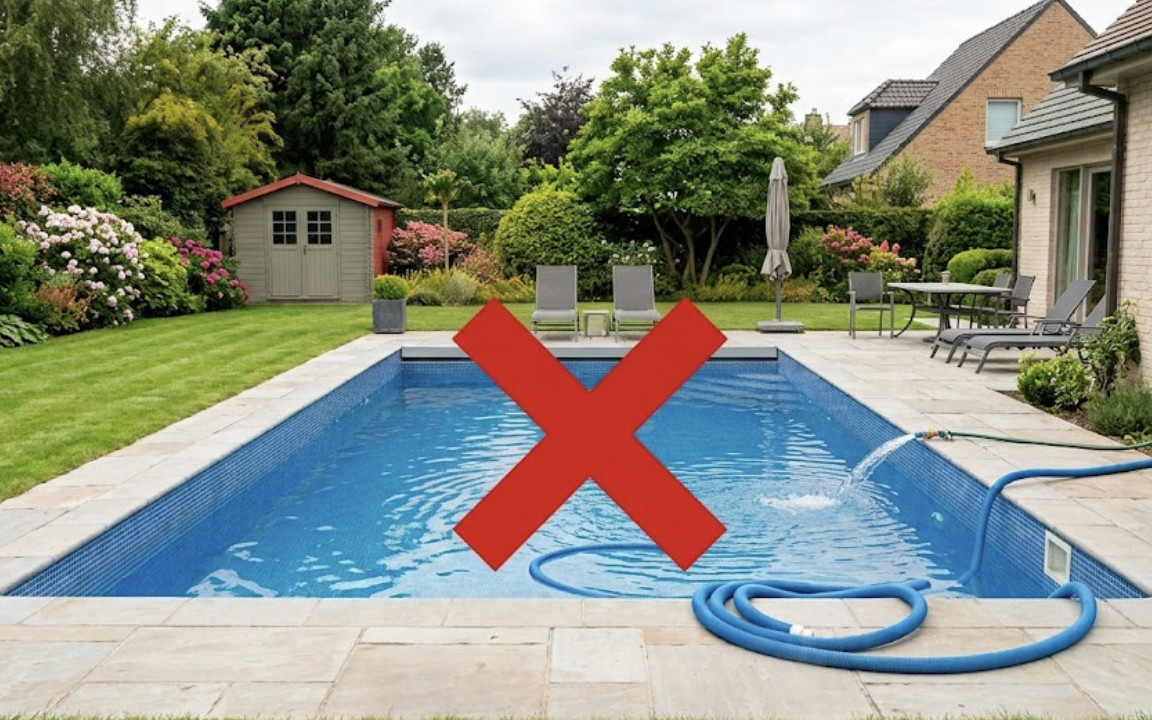
In the South-East region, now under a crisis designation, restrictions have been pushed to the highest level: watering, filling pools, and washing cars are strictly banned, with only essential uses (health, sanitation, civil safety, and drinking water) allowed. The silver lining, however, is that these rules do not apply to collected rainwater, which remains available for use.
No release date has been set: restrictions will stay in place until river flows rebound, and the prefecture will adjust them as the weather changes. To follow the evolution in real time and learn the rules for your commune, keep an eye on VigiEau. We’re also watching closely for the return of rain to Paris and Île-de-France, the only real remedy for the situation.
On the sanctions front, it’s best to play along: field checks are being carried out by the environmental police and the French Office for Biodiversity, and failure to comply can result in a fine of up to 1,500 euros for an individual, with significantly higher penalties for professionals. Restrictions could still tighten in Yvelines and, more broadly, in Île-de-France in the coming weeks.
This page may contain AI-assisted elements, more information here.