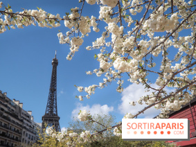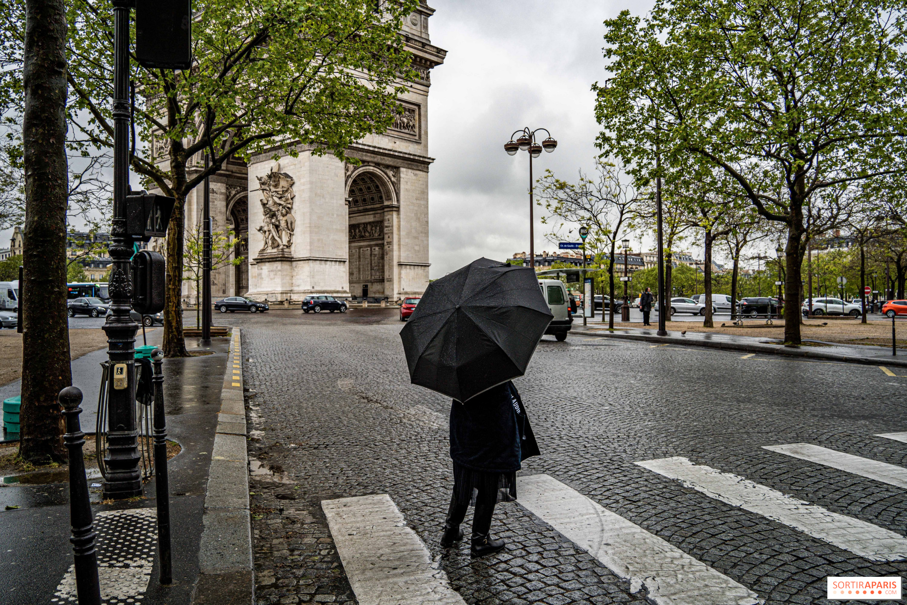
Temperatures in Paris and throughout theIle-de-France region are set to change dramatically from mid-week onwards. Temperatures in France are expected to drop by as much as 10°C to 20°C in the space of 48 hours. After having suffocated under an intense heatwave, with temperatures approaching 30°C in Paris, Parisians can look forward to a change that will bring the bar down to 23°. The first signs of this climatic transformation will be perceptible as early as this Wednesday, August 23, with thunderstorms expected in the Ile-de-France region, which has been placed on orange alert. Although these thunderstorms herald an electric atmosphere, they signal a meteorological metamorphosis.
Wednesday will serve as a "transition day". Thunderstorms are expected to multiply across the country, and Thursday will see a drop in temperature, making some people want to get out their sweaters. According to meteorologists, this drop in temperature will be due to an "oceanic air mass" enveloping France. If this prediction comes true, we'll be witnessing a meteorological change of rare abruptness.
Program for the coming days:
Meteorologist Patrick Marlière reports that the "heat dome" will lose its strength. In addition, a wave of thundery precipitation from the northeast is expected to cross France. These storms could prove particularly violent over the northern half of the country, warns Agate Météo forecaster Grégory Langlet. By the end of the week, temperatures will be milder. In Lyon, for example, temperatures could drop from almost 40°C to a more moderate 22°C.
This meteorological turnaround is due to a phenomenon known as the " cold drop ". As Météo France explains, this is a confrontation between a pocket of cold air at altitude and warmer flows, causing showers and potentially intense thunderstorms.
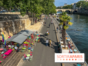
In short, after an exceptional heatwave in Paris, we're likely to have to dig out our sweaters and umbrellas for stormy spells and temperatures closer to normal for the season.