After several days of gloomy weather,fine weather is making a comeback in Paris and throughout theÎle-de-France region. The Atlantic disturbances which have been following one another since the start of the week will finally give way to more summer-like conditions from next weekend.
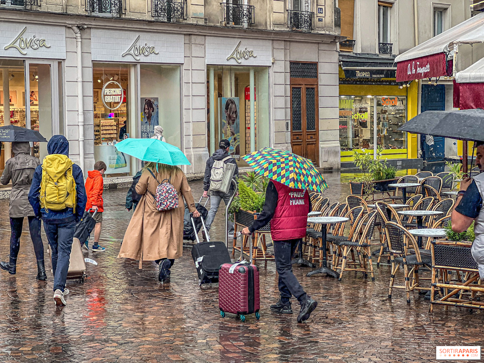
For the past few days, the Paris region has been suffering the effects of unstable weather, with regular rainfall and unseasonably cool temperatures. These conditions are linked to the passage of several disturbances from the Atlantic Ocean, notably the remnants of ex-hurricane Erin and ex-tropical storm Fernand. We're still in this disturbed period this Tuesday, with showers that may locally take on a stormy character and a maximum temperature that won't exceed 22°C in the capital.
According to Tameteo, the good news is that the high-pressure system will be strengthening towards France on Friday, bringing a return to dry but still fairly cloudy weather. This improvement is confirmed for the weekend, with clear skies returning to the Île-de-France region on Saturday , along with a return to warm weather (over 25 degrees expected).
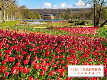
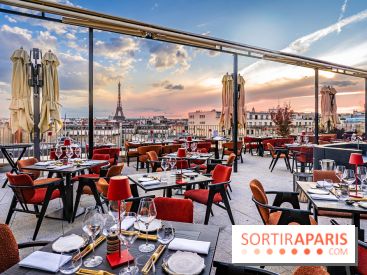
Sunday is shaping up to be a particularly pleasant one, with the sun set to shine brightly on Sunday, and temperatures continuing to rise, sometimes reaching almost 30 degrees in the afternoon. This pleasing prospect confirms that summer has not yet said its last word, even if we're already well into September.
Weather trends for the rest of September 2025 remain mixed, according to meteorologists. The unsettled weather of late August will continue into early September 2025. A cool, wet anomaly is clearly in evidence for the first week of the month (1st to 7th).
The outlook for the second week of September is gradually improving. The cool, wet anomaly is still likely to be present, though gradually receding. This week will therefore still be very mixed, with frequent rain or thunderstorms and temperatures gradually returning to seasonal normals.
The second half of September remains more uncertain, according to the weather models. Some models envisage a rebound in high pressure towards the British Isles and the North Sea by mid-September 2025, which could favor more stable conditions over the Île-de-France region.
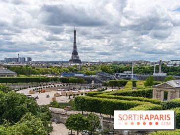
September in Paris offers generally favorable conditions. It's a period when the climate remains generally favorable, with minimum daytime temperatures of 14°C and maximums of 23°C. The month marks the transition from summer to autumn, with the first ten days of September in Paris generally the warmest of the month.
This year, long-term forecasts suggest that September could be warmer than the so-called seasonal average, with an estimated probability of around 60%. This trend is part of a wider context in which the warmer-than-normal scenario is the most likely over the whole of Europe, including France, against a backdrop of climate change.
For those of you in the Paris region who are waiting for the return of fine weather, you'll just have to wait until next weekend. Weather conditions are set to improve significantly with the return of the anticyclone, finally offering the warm, sunny days we've all been hoping for after this gloomy period. However, we'll need to remain vigilant for the rest of the month, as weather models are still showing uncertainties about how conditions will evolve beyond mid-September.
The latest weather forecasts from Météo-France confirm this gradual improvement, while specialist services such as Meteo-Paris.com continue to monitor the situation to refine their forecasts over the coming days.