The rain is making a big comeback over Paris and the Île-de-France, after a string of days above 30°C since the start of summer. For the week of August 17 to 23, 2026, showers are returning to the capital as well as to Seine-et-Marne, the Yvelines, Val-d'Oise and Essonne, bringing a clear cooling in temperatures. According to Météo-France forecasts, the turning point will come midweek.
One thing to note: the summer of 2026 will go down in the books. We weathered several heat waves, including a heatwave at the end of June, but also a dire rainfall deficit and a pronounced drought that left the soil bone-dry. In short, this return of showers is eagerly anticipated.
The answer comes in one day: this Wednesday, August 19, 2026. A new disturbance from the Atlantic rolls across regions north of the Loire and darkens the skies over Île-de-France, with some rain across the entire Paris area. The maritime air mass finally banishes the heat of the past few weeks.
The real cool spell arrives by Wednesday afternoon. The temperatures drop on average by more than 5 degrees and slightly fall back below the seasonal norms, something that hadn’t happened for many weeks. In Paris, highs no longer exceed 23 to 24 degrees, versus nearly 30 at the start of the week.
Thursday brings a brief reprieve, with brighter skies and a few sunny spells. But the rain returns on Friday: light showers are forecast and highs around 22 to 24°C in Paris, and the unsettled pattern is set to last for several days.
Paris (75) and the inner suburbs (Hauts-de-Seine, Seine-Saint-Denis, Val-de-Marne) are among the first to feel it: the sky clouds over by midday and a few showers reach the capital in the afternoon. These rains come with a noticeable drop in the mercury, with temperatures not exceeding 23–24°C.
Val-d'Oise (95), at the northern edge of the region, is on the front line facing the weather disturbance, which hits Île-de-France from the northwest before sweeping into the rest of the departments.
The Yvelines (78) are also among the areas hit very early by the rain, starting in the western part of the department. After a day that remained mild (around 24°C in Rambouillet and Orgeval), cooler air moves in on Friday, with only about 20°C in Versailles and Houdan.
In Essonne (91), the showers arrive a little later, with warmth holding on first in the south (around 25°C near Milly-la-Forêt on Thursday) before the rain moves in.
It is in Seine-et-Marne (77), in the east, that the rain arrives last. The heat lingers there the longest (temperatures reaching up to 27°C in Fontainebleau and Melun, 25°C in Nemours) before showers and a cooling trend finally spread across the entire department.
The week-end won't completely close the door on averses. On Saturday, the weather in Paris and the Île-de-France region will be very changeable, with cloudy spells, sunny breaks, and a risk of showers in the afternoon. The températures won’t rise above 23 to 25 degrees, with a cool morning around 14 degrees.
Sunday, instability remains, but showers are more localized and can take on a stormy edge in places. The thermometer sits around 23°C, with cool mornings near 11°C—comfortably seasonal values. We’re easing into a more typical late August, far from the scorcher of recent weeks.
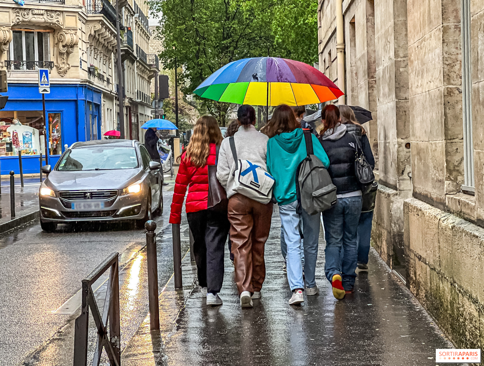
In other words, keep the umbrella at hand for Saturday and Sunday outings, without giving up outdoor terraces between passing showers. Find the day-by-day details in our weather forecast for the week of August 17 to 23.
As is often the case during this transition period, forecasts can still shift from day to day. Before you head out, it’s worth checking the latest Météo-France outlook, updated several times a day for Paris and each of the eight Île-de-France departments.
This page may contain AI-assisted elements, more information here.
Recommended age
For all