The weather in Paris and Île-de-France this semaine du 14 au 20 septembre 2026 unfolds in two acts. First, a late-summer heat spike on Monday and Tuesday, fueled by a surge of hot air from North Africa, with temperatures around 29 to 31°C across the region. Then a notable cooldown beginning Wednesday, as a northwest wind pushes the mercury down by about 10°C in 24 hours.
This marks a genuine seasonal turning point across Île-de-France’s eight departments (75, 77, 78, 91, 92, 93, 94, 95). After a summer in 2026 defined by repeated heatwaves, the shift toward average, or even slightly cooler, temperatures could well herald the first real chills of autumn.
On Monday, September 14 is shaping up to be bright and warm. After low clouds in the morning, the sky will clear to reveal a beautiful sunshine, with temperatures ranging from 17°C early in the morning to 26°C in the afternoon in Paris. In the outer ring, particularly in Seine-et-Marne (77) and Essonne (91), the mercury will rise a notch higher.
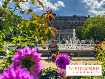
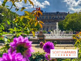
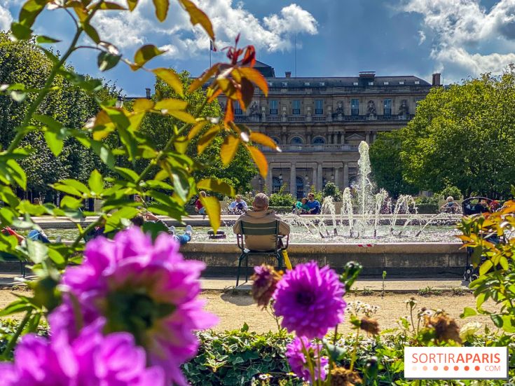
The generous sun is dominating the scene, under an anticyclonic ridge that blocks any disturbance. It’s a fine day to enjoy the parcs et jardins parisiens before the weather changes.
The Tuesday, 15 September marks the heat peak of the week. The sky remains very summery with a blazing sun and a remarkable heat in the afternoon. The temperatures reach 30 to 31°C in Paris, July-like figures, before the sky clouds over from the west later in the day.
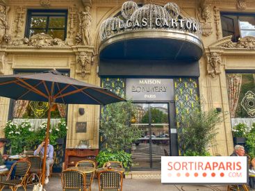
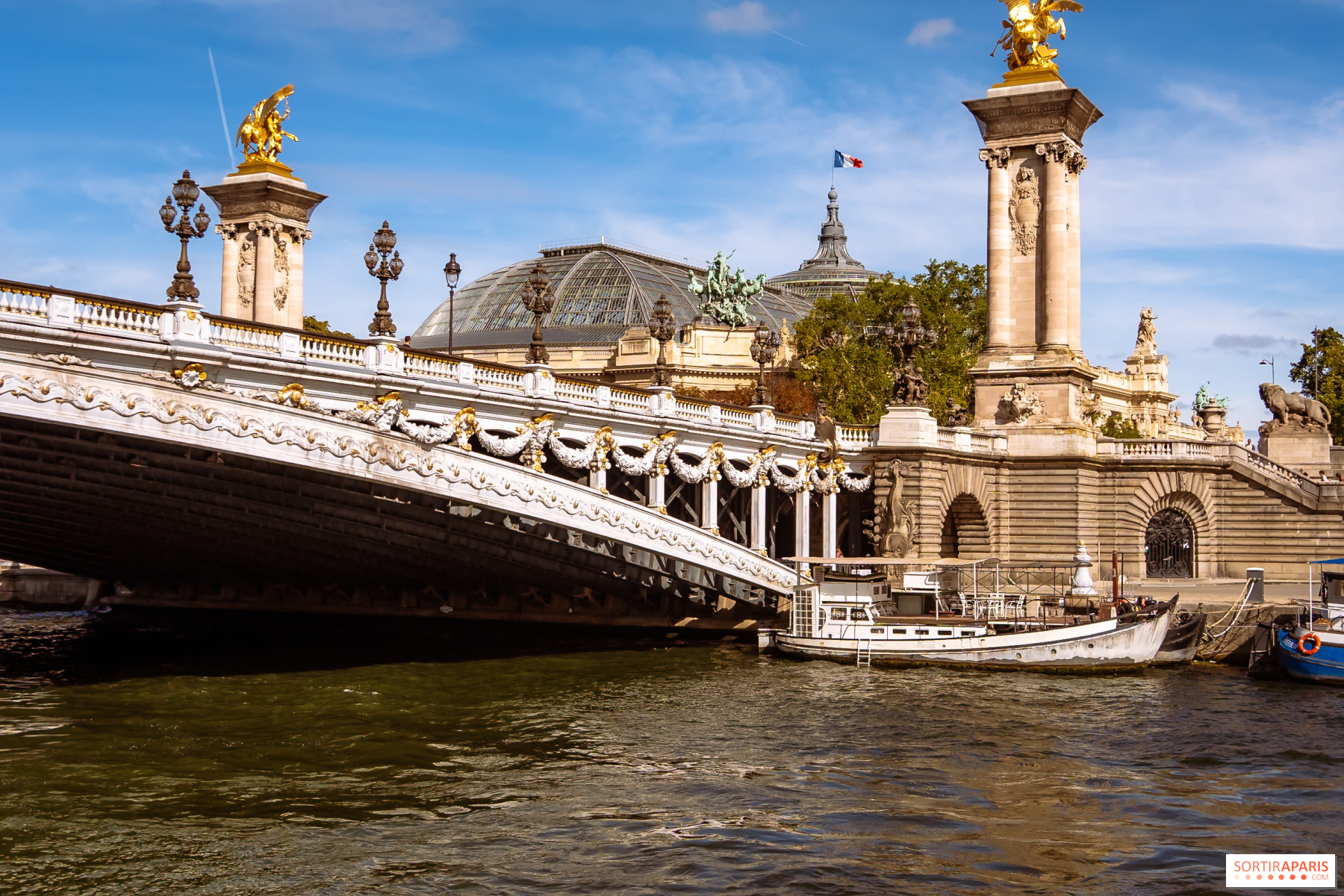
Reaching or exceeding 30°C by mid-September remains a rare occurrence, even after a very hot summer. Take advantage to stroll along the Seine banks or from a terrace: it's the last truly summer-like day of the week.
The shift takes effect on Wednesday, 16 September. The flow turns to the northwest and brings a marked cool-down, with roughly a 10°C drop in a single day. Temperatures will not exceed 22 to 23°C in the afternoon, under a now cloudier sky, with a shower possible.
Thursday, September 17 confirms the chill, with a mostly cloudy sky and temperatures between 11°C in the morning and 20–22°C in the afternoon. Some showers may roll in late in the day as a cold front approaches. A light jacket is a sensible addition.
The Friday, September 18 stays cool and changeable, with a cloudy sky, possible showers, and temperatures between 9 and 22°C. Mornings are noticeably cooler across the region, especially in the outer suburbs where dawn temperatures dip to around 9°C.
The weekend of September 19 and 20 retains a seasonal vibe. On Saturday, the sky stays mix, with temperatures from 9 to 23°C, and Sunday edges higher, around 24°C in the afternoon, with the return of some sunny spells. Ideal conditions for weekend markets or a stroll through the Île-de-France gardens, provided you bring a light layer in the morning.
To some extent. After a particularly hot summer, this mid-September cool spell marks a clear break, with temperatures dipping below seasonal norms by the end of the week. Atlantic air is taking charge again, pushing the heat toward the southeast of the country.
Heads up, though: according to Meteo-Paris.com, run by meteorologist Guillaume Séchet, the high-pressure system could return as soon as Friday or Saturday, bringing milder conditions next week. September still has the potential for new heat spikes, so autumn hasn’t really arrived yet.
Not much rain, and that's a problem. Despite the arrival of the front froid in the second half of the week, the pluies expected remain sparse and scattered. The s%C3%A9cheresse affecting the region for several months is unlikely to ease this week, with forecast totals remaining very modest.
We are keeping a close eye on developments via the Météo-France vigilance map, especially for any showers expected from Wednesday to Friday.
To follow day-to-day developments, the go-to is the Météo-France weather bulletin for Paris, supplemented by analyses from Meteo-Paris.com, which is particularly quick to react across Île-de-France. Two reliable sources to plan your outings for the week.
In short, a week with two faces in Île-de-France: two days of lingering summer, then a genuine swing toward autumn’s coolness. We enjoy the sun and the outdoor terraces on Monday and Tuesday, dust off the jacket starting Wednesday, and keep an eye on the sky for the weekend. A chance to savor the last of the season before finally stowing away the summer wardrobes.
This page may contain AI-assisted elements, more information here.
Dates and Opening Time
From September 14, 2026 to September 20, 2026
Recommended age
For all