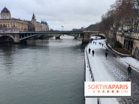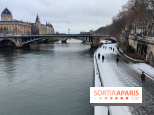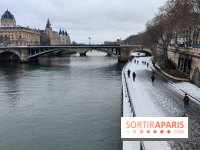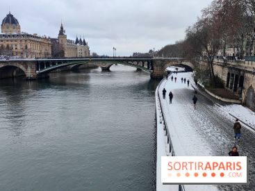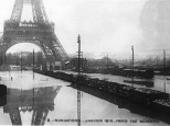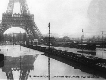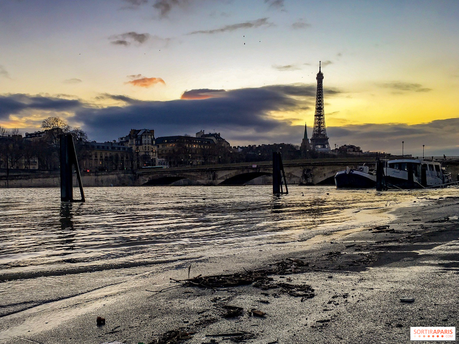
Due to recent heavy rains, the Seine has spilled over its normal banks. By Sunday evening around 8 p.m., water levels exceeded 3.20 meters, prompting the partial closure of the quai on the banks in Paris. As of Monday, February 16, 2026, measurements at Paris-Austerlitz show the river reaching 3.26 meters. According to Vigicrues, the river could rise to 3.58 meters by Tuesday morning and peak around 3.70 or possibly 3.74 meters. To put this into perspective, the 2018 flood peaked at 5.84 meters, a record high.
Roads along the riverbanks closed: which routes are affected?
According to Franceinfo, almost all the lower quays are affected. The Georges Pompidou lane is closed between the Garigliano Bridge and Bir-Hakeim, as well as between the Tuileries Tunnel and the Henri-IV Tunnel, impacting both motorists and cyclists. The pedestrian walkways along the Rives de Seine park, on both the right and left banks, are also inaccessible. Barriers have been set up to block access, and traffic jams are expected during rush hours.
In the 1st, 2nd, 3rd, and 4th districts, the affected areas include: quais de l’Horloge, du Marché-Neuf, d’Orléans, du square du Vert-Galant (square Barry), ports of the Louvre and Célestins, as well as quais d’Anjou, Bourbon, and des Orfèvres. Elsewhere, roads beneath the Tolbiac and Bercy bridges are also closed, along with the parc de l’Île aux Cygnes and the promenade Maurice-Carême.
Several ports are closed to traffic: Saint-Bernard, Javel Bas (near André Citroën Park), La Tournelle, Solférino, Gros-Caillou, Les Invalides, Louvre, Champs-Élysées, and Saints-Pères are all off-limits for vehicles. River navigation, however, remains permitted.
The region remains on yellow alert today and tomorrow.
This page may contain AI-assisted elements, more information here.