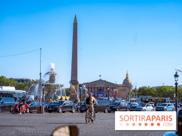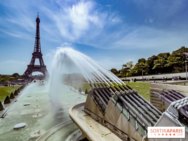
People are already worn out after three back-to-back heatwaves. Since Tuesday, temperatures have risen again nationwide, and a new heatwave has struck France on this July 29. On Wednesday, temperatures frequently topped 37°C in Nouvelle-Aquitaine, Occitanie, Auvergne, the Rhône and Saône valleys, Burgundy, and even Île-de-France.
We note that France endured from July 4 to 19 its second heatwave of the summer, notably gruelling because of its duration (15 days). "Only the summers of 2017 and 2022 have seen three heatwaves. In 2017, they were short (3 or 4 days). In 2022, France faced a short heatwave in June (5 days) and two long ones in July and August (14 days each)", explains Météo France.
So what should we expect in the days ahead? Thursday, July 30, temperatures are expected to drop noticeably in the west, "however the heat should persist over a large part of the east of France," according to Météo France. On Thursday and Friday, thunderstorms, "whose intensity is uncertain at this stage," will sweep across the country and help cool things down.
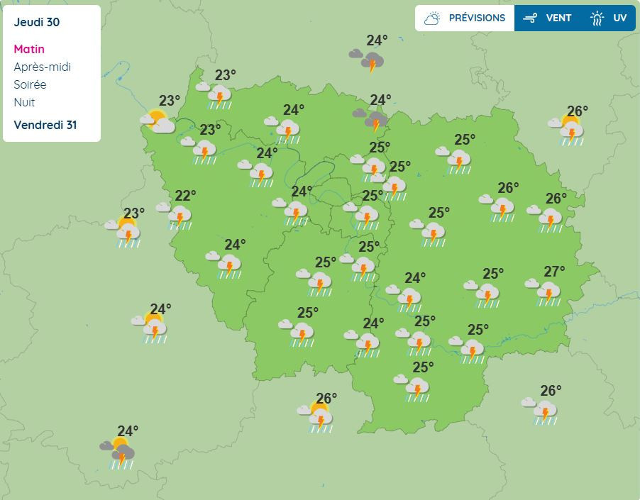
This Thursday, Météo France has placed about forty departments on yellow alert for possible thunderstorms. In Île-de-France, the entire region is now under the yellow alert, namely Paris and the inner suburbs (the Hauts-de-Seine, Seine-Saint-Denis and Val-de-Marne), but also Essonne, the Seine-et-Marne, the Yvelines and the Val-d'Oise. According to the meteorological service, these thundery showers could hit the capital and its surroundings on Thursday morning until roughly 1 p.m.
What's more, winds will also gust through parts of Île-de-France, with gusts reaching up to about 60 km/h on Thursday morning, notably in the eastern part of Seine-et-Marne.
Because of this yellow "thunderstorms" alert issued by Météo-France, it is important to remind everyone of the usual safety guidelines, such as avoiding outdoor activities, not taking shelter under trees or under an overhang, and not driving on flooded roads.
Official website
meteofrance.com