The cold weather arrived abruptly at the end of November with snowfall even in the plains, but this cold snap does not necessarily herald a freezing winter in the Île-de-France region. While Paris andthe Île-de-France region have just experienced their first winter episode of the season, seasonal forecast models agree on a predominantly mild trend for the period December-January-February. This raises the question of whether we are likely to see snowfall in the capital again before the end of the year.
Despite the sudden return of cold weather in recent days, the long-term weather forecast remains largely unchanged. According to the American CFS model, France and Europe are expected to experience a milder than normal winter overall. In France,the temperature anomaly is expected to be between +0.7 and +0.9°C for the period December-January-February. While this represents a milder than normal winter, it is still a far cry from the exceptionally warm winters of 2019-2020 (+2.7°C temperature anomaly) and 2022-2023 (+2°C). Nevertheless, according to this scenario, which observed an anomaly of +0.6°C across France, the winter of 2025-2026 would be milder than the previous one.
The European model agrees with this trend, with winter remaining generally mild across France and Europe according to the latest models. Anomalies are expected to range between +0.5°C and +1°C in France over the December-January-February period, values similar to those modeled by the American model. The consensus among the main seasonal forecast models therefore remains unchanged at the end of November: a milder than normal winter in Europe.
Cold spells and snow are still possible despite everything.
Despite these forecasts seeming rather discouraging for lovers of cold weather and snow, it's important to bear in mind that they represent an average over three months. This means that there may be significant variations in temperature duringthe winter. Variations mean periods of mild weather, which may be more frequent, but also periods of cooler or even cold weather.
It should also be noted that in this context of global warming, long-term weather trends very often indicate this type of pattern, particularly forwinter. A cold trend is almost never predicted several months in advance, even though it is true that this type of cold anomaly is becoming increasingly rare on a monthly basis.
For example, three weeks ago, long-term forecast models predicted that November would be milder than normal across France. However, these predominantly mild forecasts did not prevent a significant cold snap from occurring this week in France, with temperatures well below normal for this time of year and even a sudden return of snow to the plains.
As mentioned in our previous analyses, an unstable polar vortex could encourage these alternating periods of mild weather and cold snaps in the coming months. So, it's best not to write off cold weather and snow in the Île-de-France region forthe winter of 2025-2026 just yet, even if it is expected to be milder than normal. More wintry and cold periods are still entirely possible. It should also be noted that a cold spell and snowfall affected the northern half of France on November 21, 2024, but the trend then reversed andthe winter of 2024-2025 was ultimately mild.
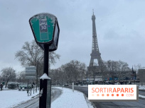
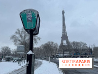
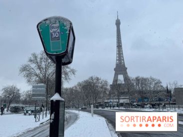
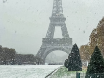
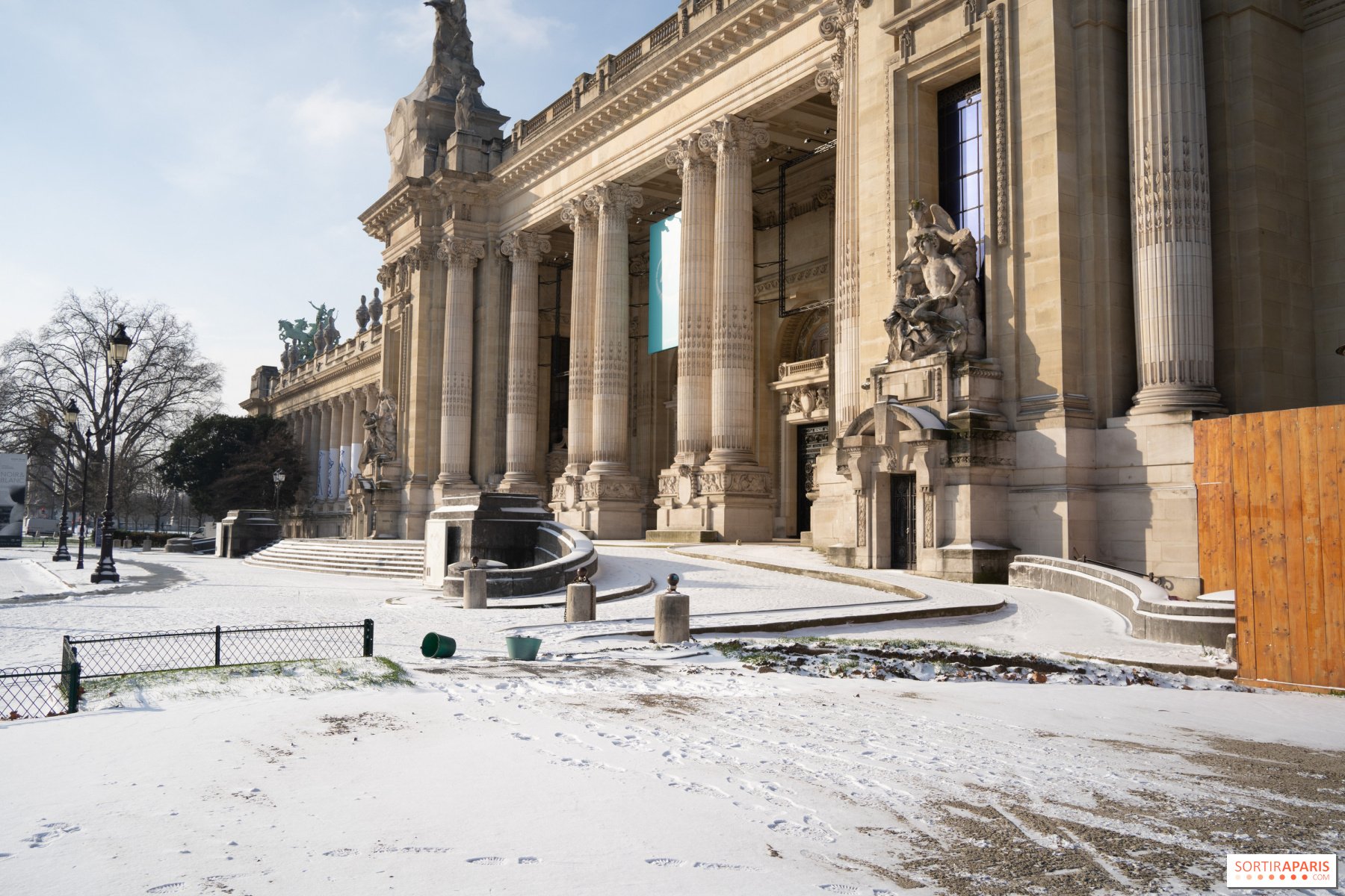
Paris and the entireÎle-de-France region experienced snowfall during the night of Saturday, November 22 to Sunday, November 23. Météo-France reported snow depths of one to four centimeters on average in the region, which was hit by its first winter storm of the season. Next week, the weather will change dramatically with the return of milder temperatures. But in the longer term, couldthe Île-de-France region see more snowfall between now and the end of 2025?
Snow remains a relatively rare phenomenon in the Île-de-France region. According to climate data, Paris experiences an average of two to three days of snow in December, but snowfall is often light and melts quickly. Temperatures at this time of year are also less and less conducive to lasting accumulations: in December, the averages hover around 7.3°C during the day and 3°C at night in Paris, according to climate data from Météo-France.
Medium-term weather models do not currently point to a scenario that is very favorable for heavy snowfall. Temperatures are expected to remain mild overall, with few signs of sufficient cooling in the long term. Even if precipitation is forecast, as is the case for next week, it will most likely be rain. In short, for the moment, snowfall is unlikely between now and the end of the year. So there's little chance of December being anything like 2010, when up to 12 cm of snow was recorded in the capital.
More generally, snow is likely to become rare in the coming years, according to a study by Météo-France on the future of Parisian winters conducted in 2022, due to global warming. While Paris has experienced periods of extreme cold in the past, cold spells have become less frequent and less intense in recent years.
Similarly, Météo-France has noted a decrease in the number of days with frost and a decrease in the number of days without thaw. Recent years have also been marked by increasingly frequent winters with little snow. This is despitethe winter of 2010 and its 21 days of snow, a level not seen since 1979. Since the late 1980s, there have even been a few winters with no snow at all.
"It is also likely that winter phenomena (snow, frost, extreme cold) will continue to become rarer, according to Météo-France. However, even if the probability of these events is lower, it is not zero." In other words, if you dream of seeing Paris covered in snow this winter, it's best not to count on it too much, but you never know—the weathersometimes has surprises in store for us.
Recommended age
For all