The heat waves aren’t letting up on Paris, the inner suburbs (Hauts-de-Seine, Seine-Saint-Denis, Val-de-Marne) and the entire Île-de-France this Wednesday, June 24, 2026. Météo-France keeps the region at red heatwave alert, the highest level of warning, after a suffocating night that prevented homes from cooling down. A question on everyone’s lips: when will it end?
The episode marked a symbolic milestone. Tuesday, June 23 will go down as the hottest day on record in France since reliable measurements began in 1947, with a national heat index of 29.8°C, ahead of the August 2003 and July 2019 heatwaves (29.4°C). In its intensity and breadth, the event is comparable to 2003, according to Météo-France, and 62 departments have been placed on red alert.
As a reminder, a heat wave is when temperatures stay high day and night for several days (at least three), with red alert marking the highest level of the national heat‑wave plan. And relief isn’t coming anytime soon.
According to the Météo-France bulletin, the heat peak will last until Thursday, June 25, inclusive, with daytime highs around 39–40°C across the Île-de-France, and possibly a bit higher in some spots. It’s the nights that bite: Paris logged almost 28°C overnight, and minimums in the metropolitan area could stay between 23 and 27°C, an unprecedented level.
The rollout of the episode is expected to be very slow and uneven across regions. We’ll be keeping an eye on the vigilance map, updated daily.
After the peak, the outlook for the end of the month is starting to take shape. From Friday, June 26, a slightly cooler air arriving from the English Channel should push the thermometer down in Île-de-France, to around 30 to 33°C, with thunderstorms possible in the evening. Saturday, June 27 will stay hot (often 32 to 34°C), before a renewed drop expected on Sunday, June 28, to about 28 to 30°C.
For the week of June 29 to July 5, 2026, forecasters expect temperatures to ease back toward seasonal norms in the region, typically reaching between 25 and 30°C in the early part of the week. The lull should be sharper in the northwest and along the Atlantic coast than in the east and southeast, where the heat could linger into early July.
A caveat is in order: these multi-day forecasts remain uncertain, as they depend on how thunderstorm activity develops, which is still hard to gauge. Nationally, the thermal index could stay above the heat-wave threshold (23.4°C) into the first days of July, signaling that we’re moving away from the heatwave without tipping straight into cooler weather. We’ll follow the day-by-day evolution on the Météo-France site.
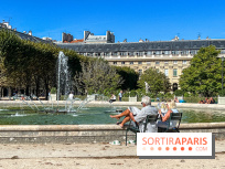
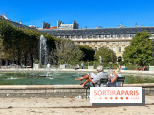
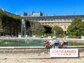
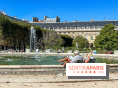
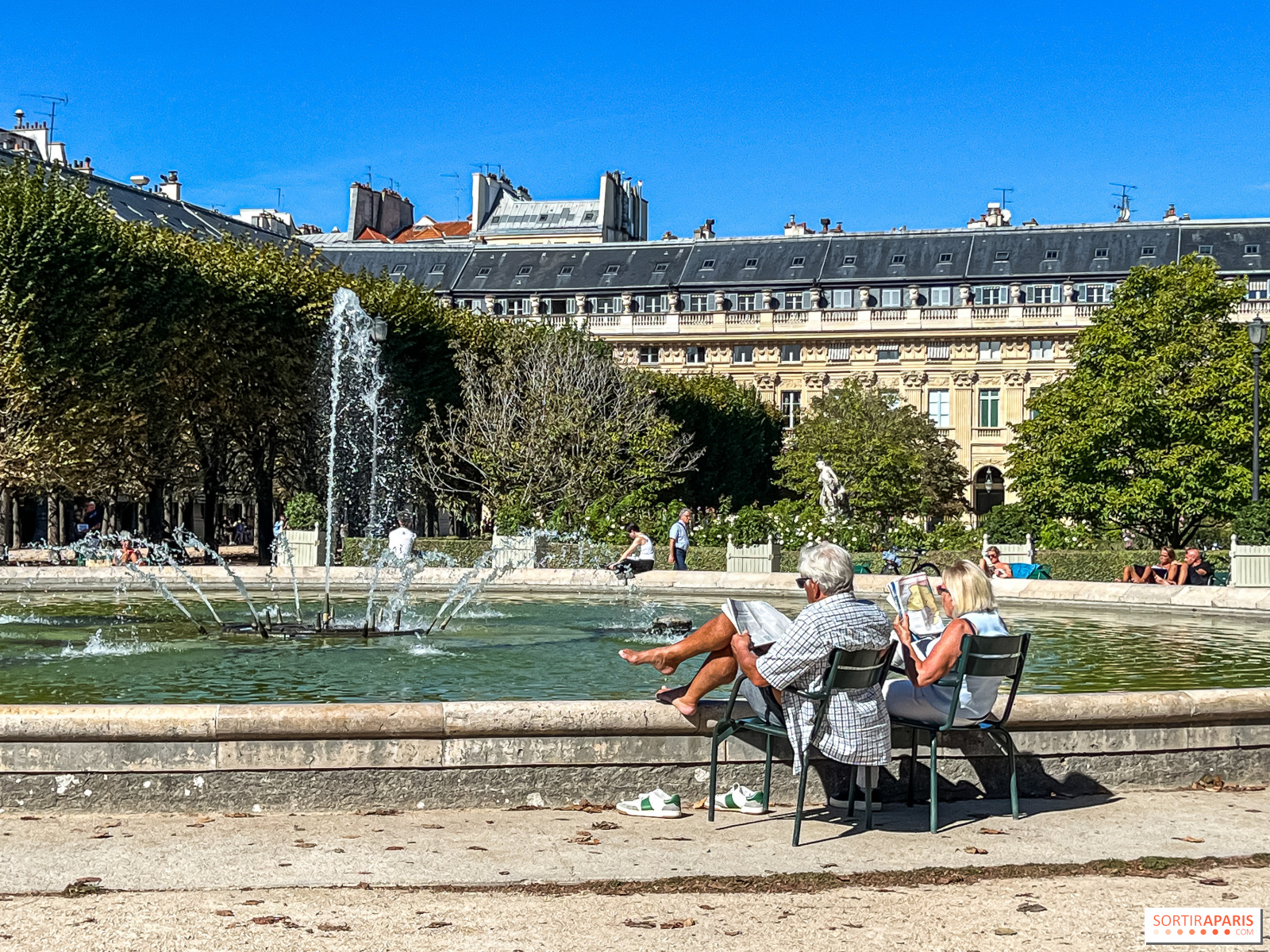
As the heat returns, the City of Paris reminds residents of its numerous cooling hubs—shaded parks, air‑conditioned museums, and even libraries. Keep the habit of drinking water regularly, avoid the sun during the hottest hours, and check in on the most vulnerable neighbors.
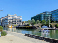
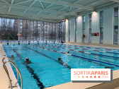
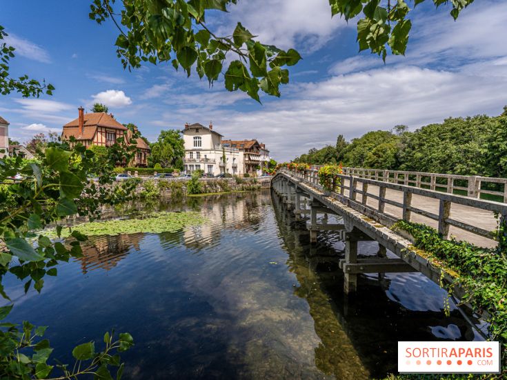
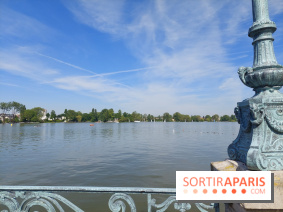
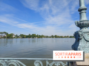
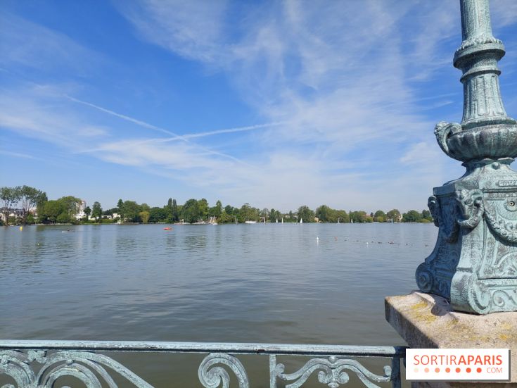
The Canicule Info Service number (0 800 06 66 66) remains reachable from 9 a.m. to 7 p.m., and with heat boosting ozone pollution, we’re keeping an eye on air quality with Airparif. To catch our breath, we head to the best spots to cool off in Paris and Île-de-France, or take a dip at one of the supervised swimming spots on the Seine and Marne, open for summer 2026.
To dive deeper, you can also check our daily briefing on the red alert and the record-breaking nights in Paris this Wednesday, as well as our ongoing coverage of the red alert remaining in effect this Wednesday and Thursday in Île-de-France.