Vigilance jaune orages for this Saturday, September 13, 2025 in the Paris region. Météo-France has placed Paris and 46 other French departments on alert, reflecting the significant weather deterioration affecting the whole of theÎle-de-France region. The departments concerned include Paris, Seine-et-Marne and Yvelines, in a context of marked atmospheric instability.
This weather alert is part of a period of alternating sunny spells and cloudy spells withshowers that characterizes mid-September. North of an axis stretching from the Charentes to Alsace, timid sunny spells alternate with frequent cloudy spells bringing showers, says the national weather service.
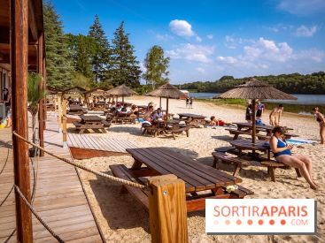
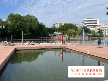
For Saturday, September 13 in the Paris region, the weather forecast calls for variable weather with predominantly cloudy conditions. Temperatures will reach 20°C by mid-afternoon in Paris, with lows of around 14°C in the early morning. A generally light south-westerly wind is blowing across the Paris region. The skies remain very cloudy, with light rain expected by midday, making it advisable to bring an umbrella for outdoor activities.
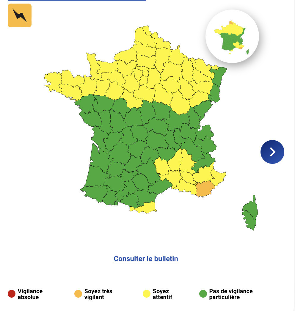
47 départements have been placed under yellow vigilance for thunderstorm risks this Saturday. The list includes Aisne, Alpes-de-Haute-Provence, Alpes-Maritimes, Ardèche, Ardennes, Aube, Bouches-du-Rhône, Calvados, Côte-d'Or, Côtes d'Armor, Drôme, Eure, Eure-et-Loir, Finistère, Gard, Ille-et-Vilaine, Loir-et-Cher, Loiret, Lozère, Manche, Marne and Haute-Marne.
To this list are added Mayenne, Meurthe-et-Moselle, Meuse, Morbihan, Moselle, Nord, Oise, Orne, Pas-de-Calais, Pyrénées-Orientales, Haute-Saône, Sarthe, Paris, Seine-Maritime, Seine-et-Marne, Yvelines, Somme and Vaucluse.
There will be thundery showers in the morning from Cotentin to Flanders, then in the afternoon over the whole area, with the exception of Brittany. Rain showers are forecast in the west of France and in the Île-de-France region, with intensity varying from one area to another.
The Var is under a more severe orange thunderstorm watch, reflecting potentially more violent phenomena in this region. The strongest thunderstorms could produce rainfall totals of 80 to 100 mm in a short space of time, gusts of 60 to 80 km/h and hail.
Météo-France 's advice on how to protect yourself from thunderstorms includes a number of precautionary measures. Don't park under isolated trees or overhangs, and avoid handling electrical conductors. If exposed to lightning outdoors, crouch down with your feet together, as lightning is attracted by anything sticking out, and do not lie down or lean against a wall.
Insulating the ground as much as possible with any insulating material, such as a roll of rope or a sleeping bag, is also an effective protective measure. To follow the evolution of this weather vigilance in real time, we recommend that you regularly consult the official Météo-France website or its dedicated mobile application.
In case of emergency, contact the emergency services immediately on 18 or 112. This weather situation is part of the climatic variability at the end of summer, gradually marking the transition to autumn, with more frequent thunderstorms.