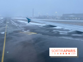
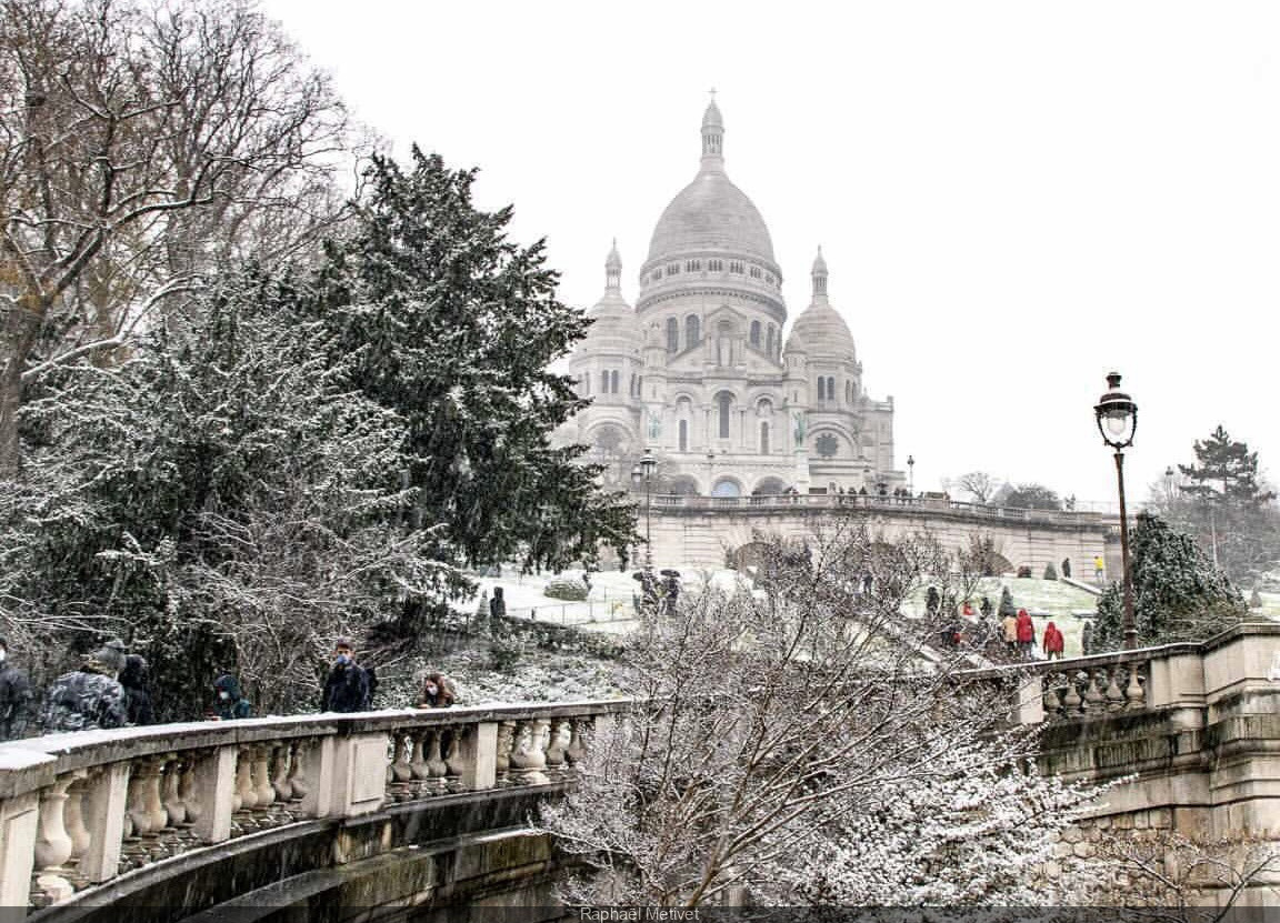
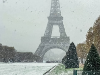
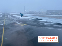
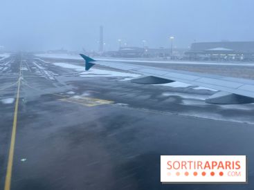
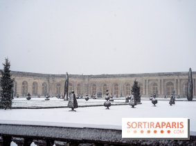
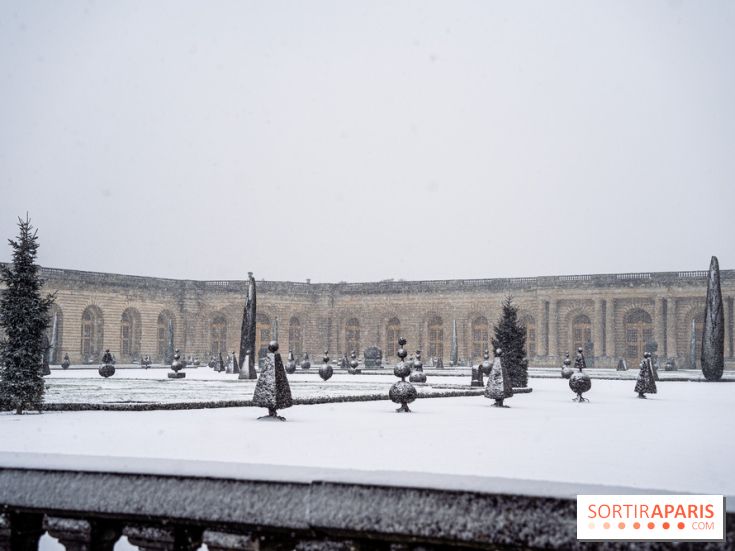
The weather forecast for this week from January 5 to 11, 2026 is shaping up to be the coldest since February 2018 in Paris and the Île-de-France region. Temperatures are expected to fluctuate between -10°C and 8°C throughout the week, with snowfalls, widespread freezing conditions, and a gust of wind forecasted for the weekend. This winter spell signals the return of polar cold to the Paris area, with over 20 departments placed under orange alert this Monday.
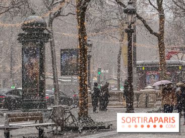
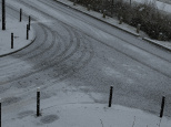
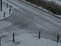
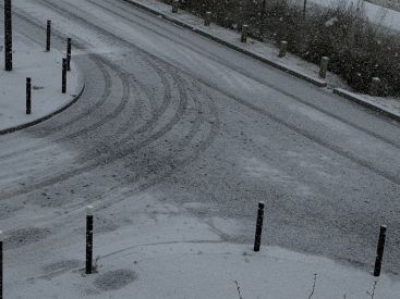
Monday, January 5, 2026, kicks off the week with freezing cold temperatures and snowfalls expected across Île-de-France. Morning temperatures will range from -10°C to 0°C, rising to between 0°C and 8°C in the afternoon — about 5°C below seasonal averages. Frosts will be widespread in all regions except Corsica. All departments in Île-de-France are under an orange alert for snow and ice. It’s a day to bundle up well and brace for this sharply wintery start.
On Tuesday, January 6th, cold conditions persist with temperatures remaining well below freezing. Mornings start with frequent frost, with lows between -7°C and -2°C, local dips reaching -8°C or -9°C in the plains. Daytime highs stay negative from the northeast to the center-east, with some areas experiencing -2°C to -3°C. Snowfall is advancing into the northwest, Auvergne, and northeast regions, bringing light to moderate accumulations. Warm clothing is a must, and outdoor activities are best kept to a minimum if possible.
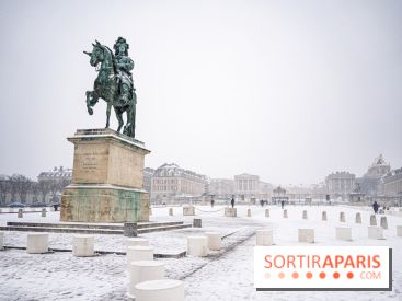
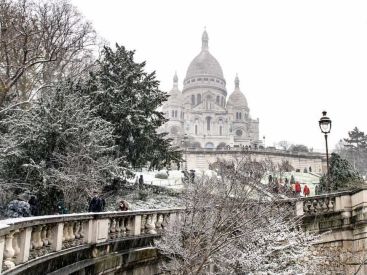
Wednesday, January 7th, remains a very cold day with a risk of snow across the Paris Basin. The forecast is still uncertain, but snow could affect a wide stretch from Gironde to the Ardennes. Morning frosts will linger, with temperatures dropping to -5°C in Alsace, and many areas experiencing daytime highs not exceeding 0°C. This is the perfect time to cozy up indoors—whether exploring Parisian museums or enjoying a hot chocolate in a charming café.
Thursday, January 8th, marks a turning point with a rainy warm-up spreading across the west of the country. Temperatures are rising to between 11°C and 14°C along the Atlantic coast, although it remains cold in the east, where snow still falls in some areas. Scattered showers are expected across most of the territory. Winds could pick up later in the day, reaching speeds of 80 to 100 km/h from the Manche to Charente-Maritime. We remain alert to these changing weather conditions.
As Friday, January 9 approaches, windy conditions are forecasted with a significant storm expected. Between Thursday and Friday, an active low-pressure system, invigorated by a particularly strong jet stream, is moving across France. Winds could gust to over 50 to 60 km/h in the northern half of the country. Temperatures are gradually rising, but the wind chill remains uncomfortable due to the strong gusts. We advise limiting travel if possible and securing objects that could be blown away.
Saturday, January 10th, continues this unsettled streak with rain and new gusts of wind. Despite a slight rise in temperatures, the overall feeling remains rather unpleasant. The weekend looks to be wet and windy, providing a stark contrast to the freezing weather at the start of the week. It's a good opportunity to explore some exhibitions in Paris from the comfort of a warm indoors or do some shopping at the city’s covered malls.
Sunday, January 11th marks the end of this hectic week, which has been characterized by ongoing unsettled weather. Persistent rains and gusty winds continue, but temperatures are gradually returning to seasonal norms. The stark contrast with the frigid start of the week is striking. This is the perfect time to unwind in a cozy café or enjoy the free museums and monuments open this first Sunday of the month.
From January 5 to 11, 2026, Paris and the Île-de-France region will be remembered as the coldest period since February 2018. The week begins with an intense polar cold snap, bringing snowfalls, widespread frost, and notably low temperatures. France remains under the influence of a maritime polar air mass, with a north/northwest flow pushing an extremely cold air mass straight from the North Pole, as forecasted by Météo-France. A rainy, windy warm-up is expected to start around Thursday, gradually restoring temperatures closer to seasonal norms.
To keep up with the daily weather updates in Île-de-France, you can turn to trusted sources like Météo-France or Meteo-Paris.com. These sites provide regularly updated forecasts several times a day for the entire Paris region. Real-time weather alerts and warnings are also accessible to ensure you stay informed.
In short, this week from January 5 to 11, 2026, we're facing a true winter with snow, frigid temperatures, and strong winds. We're bundling up with our warmest gear at the start of the week, keeping the umbrella handy for the weekend, and taking advantage of the many indoor cultural events that the city has to offer to weather these exceptional winter conditions!
Dates and Opening Time
From January 5, 2026 to January 11, 2026
Recommended age
For all