The storm Nils is set to sweep across France in the coming hours. Météo France warns that this new disturbance will bring stormy winds and heavy rainfall. The weather service specifies that wind gusts are expected to reach around 120 to 140 km/h near the coast, 100 to 110 km/h inland in the southwest—with local gusts potentially higher during thunderstorms—and 130 to 150 km/h along the Mediterranean.
What are the consequences? Several departments are on alert for heavy rain, fierce winds, and flooding on the evening of February 11 and into February 12. As of Wednesday evening, two departments are under a red flood warning: Gironde and Lot-et-Garonne. Meanwhile, the Aude department has issued a red wind alert, effective from Thursday, February 12 at 6 a.m.
What’s the situation in the Île-de-France region? Paris and the seven surrounding departments are currently under a yellow alert for strong winds.
Storm Nils: Paris and the entire Île-de-France region on yellow alert
The Nils storm is gearing up to hit France, bringing strong gusts, heavy rainfall, and the threat of significant flooding. As of Wednesday, February 11th, 19 departments are under orange weather alerts for rain, floods, and fierce winds, with that number rising to 24 on Thursday, February 12th, 2026. Currently, the Île-de-France region remains on yellow alert for violent winds. Here’s an update on the latest developments. [Read more]
However, two departments in Île-de-France are also on "yellow flood alert" due to heavy rainfall over the past few days and the significant rainfall expected in the coming hours. These are Seine-et-Marne and Val-d'Oise.
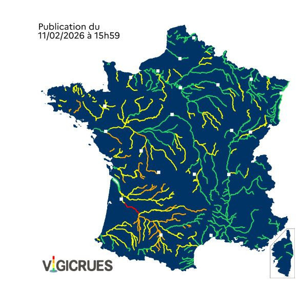
As highlighted by Vigicrues, the yellow alert signals a « potential flood risk leading to localized overflows or rapid, dangerous rises in water levels, requiring extra vigilance, especially for activities that are exposed or seasonal ».
In eastern Île-de-France, the water levels of the Petit Morin River are being closely monitored. “Following heavy rainfalls that began late Monday afternoon, water levels have started to rise along the entire stretch of the Petit Morin,” reports Vigicrues. The agency adds that “a first response has been observed near Jouarre (Vanry). The forecasted rainfalls for this week will continue to push levels higher,”.”
The Val-d'Oise has also been placed on yellow flood alert following heavy rainfall overnight from Tuesday to Wednesday, which caused water levels in the Epte to rise. This increase has led to localized flooding. While these levels are "currently stabilizing", they are expected to "rise again later today, in response to the expected rains Wednesday evening", warns Vigicrues.
Official website
www.vigicrues.gouv.fr


 Storm Nils: Paris and the entire Île-de-France region on yellow alert