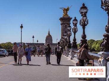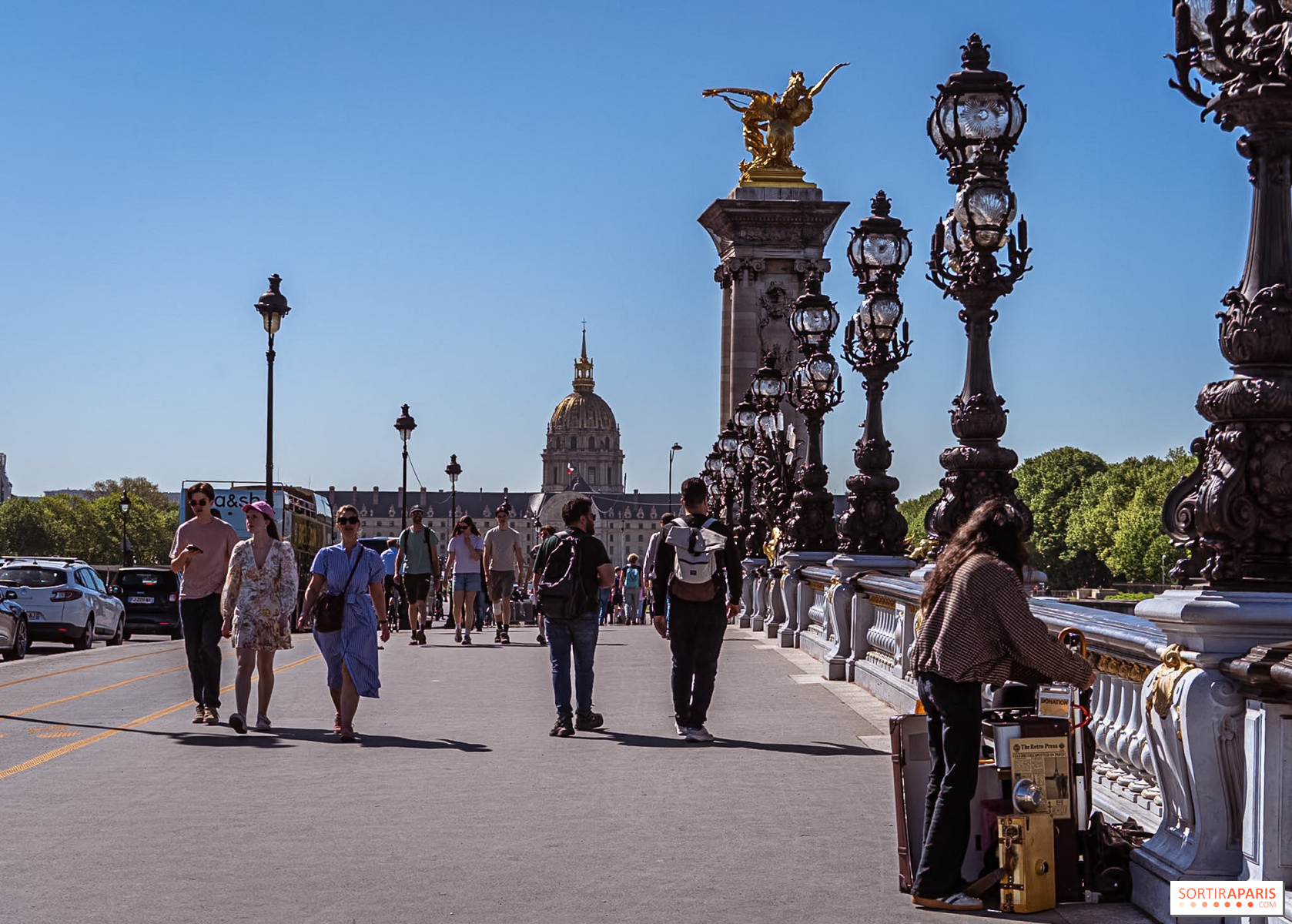
The heatwave is back in Paris and the Île-de-France region: Météo-France has placed the entire region on yellow vigilance for Monday, July 6 and Tuesday, July 7, 2026, with temperatures exceeding 35°C starting Tuesday in the capital.
The yellow heatwave alert has been activated in Paris (75) and in the seven other Île-de-France departments this Monday, July 6, and Tuesday, July 7, 2026: Seine-et-Marne (77), Yvelines (78), Essonne (91), Hauts-de-Seine (92), Seine-Saint-Denis (93), Val-de-Marne (94), and Val-d’Oise (95). After a June marked by a historic heat episode, which we covered in our article on the return of the heatwave in July, a new wave of heat is settling over the region.
Elsewhere in the country, the situation is worsening: in its bulletin released this Monday at 6 a.m., Météo-France has raised nine more departments to vigilance orange canicule starting at noon, including Gironde, Charente-Maritime, Dordogne and Landes, which join the 16 departments already under alert in the South and West.
According to Météo-France, the thermometer is showing between 32 and 34°C this Monday in Île-de-France. The mercury is set to rise above 35°C starting Tuesday, and this heat is expected to hold steady at least through the end of the week.
The peak of this heat episode is expected on Friday, July 10, with temperatures running around 35–38°C across a large part of the country. Good news, though: the likelihood of revisiting the late-June extremes when Paris neared 41°C remains low for now. We lay out the day-by-day forecast in our article on the Paris and Île-de-France weekly weather outlook.
The orange heatwave alert isn’t based solely on the forecast daytime highs. Météo-France also considers the duration of the episode, overnight temperatures, and health risks: the threshold implies high temperatures both day and night for at least three consecutive days.
It is still too early to say whether the Paris region will see an orange weather alert, but the situation could change quickly. The Météo-France vigilance map is refreshed daily starting at 6 a.m., and we are tracking its developments closely.
Île-de-France is particularly exposed to heat waves due to its urban density, concrete and traffic, which feed the phenomenon of îlot de chaleur urbain. In Paris, temperatures stay high late into the evening, making nights uncomfortable.
Hot nights are heightening risks for vulnerable groups—older adults, young children, pregnant women, the ill or those isolated—especially when the heatwave sticks around, as it did at the end of June.
Amid a new heatwave, health authorities are reiterating the essential precautions on the Health Ministry’s site: drink water regularly, avoid strenuous activity during the hottest hours, close the shutters during the day, ventilate at night, and check on isolated individuals.
In Paris and the Île-de-France, shaded parks, libraries, museums and some air-conditioned public facilities also offer solid options to beat the heat in the coming days.
This page may contain AI-assisted elements, more information here.
Dates and Opening Time
From July 6, 2026 to July 7, 2026
Location
Paris
75 Paris