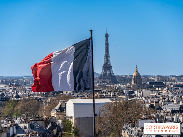
The heat is back in Paris and across the Île-de-France region (75, 77, 78, 91, 92, 93, 94 and 95) during this first week of September 2026. After a cooler late August marked by violent storms, temperatures rebound sharply as the new school year begins, with a peak expected around Friday the 4th and the weekend of September 5–6. One question remains: could this warm spell turn into a heatwave?
The scenario is now well defined by forecasters. An anticyclone is strengthening over Europe, driving a plume of very hot air up from the Iberian Peninsula and north Africa. According to Météo-France, dry, sunny conditions will set in at the start of the week, with heat then intensifying in the afternoons in the southern regions.
The European model ECMWF and La Chaîne Météo confirm this trend, with a plume of warm air sweeping in from the south starting Thursday, September 3. Météo-France, in its seasonal outlook, notes a scenario warmer than normal, in a context still conducive to late-summer heat episodes.
In the south of the country, temperatures are shaping up to be spectacular, with jusqu'à 35 à 39 °C forecast in the Southwest and peaks that could locally push toward 40 °C. The 35 °C heat threshold could be crossed in Bordeaux, Toulouse or Avignon.
In Paris and Île-de-France, the mercury stays more moderate. Projections put the region 2 to 4 °C above seasonal norms. Some scenarios forecast highs near, or just above, 30 °C around September 5, while others stay below that mark. The summer vibe appears plausible, but there are no signs yet of extreme temperatures.
That's the big question as summer winds down. With just over a week to go, forecast models point to a clear warming trend, though they can't pin down exactly the temperatures for Île-de-France. More notably, early September has already brought noticeably longer nights since the June solstice.
This nighttime cooling plays a decisive role. It should allow the thermometer to drop enough overnight so as not to meet the criteria of a canicule, which requires high minimums over several consecutive days. Forecasters from Météo-Paris remind us that no heatwave has ever been observed in France in September.
The September 2023 precedent, however, warrants caution. That year, all departments in Île-de-France and Centre-Val de Loire were placed on orange alert, the first time such a late-season warning had been issued. The situation, therefore, remains to be monitored as updates roll in.
This latest heatwave is arriving with little to no rainfall, which does little to ease the drought gripping the entire country. When temperatures soar, it's wiser to postpone long outdoor trips and opt for cool, indoor spaces (museums, exhibitions, cinema halls) to spend the afternoon out of the sun. [Internal Sortiraparis link to be added: guide to museums and exhibitions in Paris]
To follow the day-by-day developments, the most reliable option is to check the forecasts from Météo-France, updated daily. If the return of a heat spell around September 4–6, 2026 is confirmed, the emergence of a true Paris heatwave remains to be confirmed.
Dates and Opening Time
From August 31, 2026 to September 6, 2026