The weather is changing noticeably this Tuesday, September 8, 2026. Météo-France has placed Paris (75), Yvelines (78), Hauts-de-Seine (92), Seine-Saint-Denis (93), Val-de-Marne (94) and Val-d'Oise (95) under yellow wind vigilance, in an updated bulletin issued around midday.
Two departments in Île-de-France remain exempt from this alert for now: Seine-et-Marne (77) and Essonne (91). Across the country, 48 departments appear on the vigilance map, predominantly for wind in the northwest and for storms in the east.
The situation hinges on a small low-pressure system sweeping rapidly across northern France. Cooler air sweeping in from the Atlantic and the British Isles is colliding with the very hot air that has surged north from North Africa in recent days.
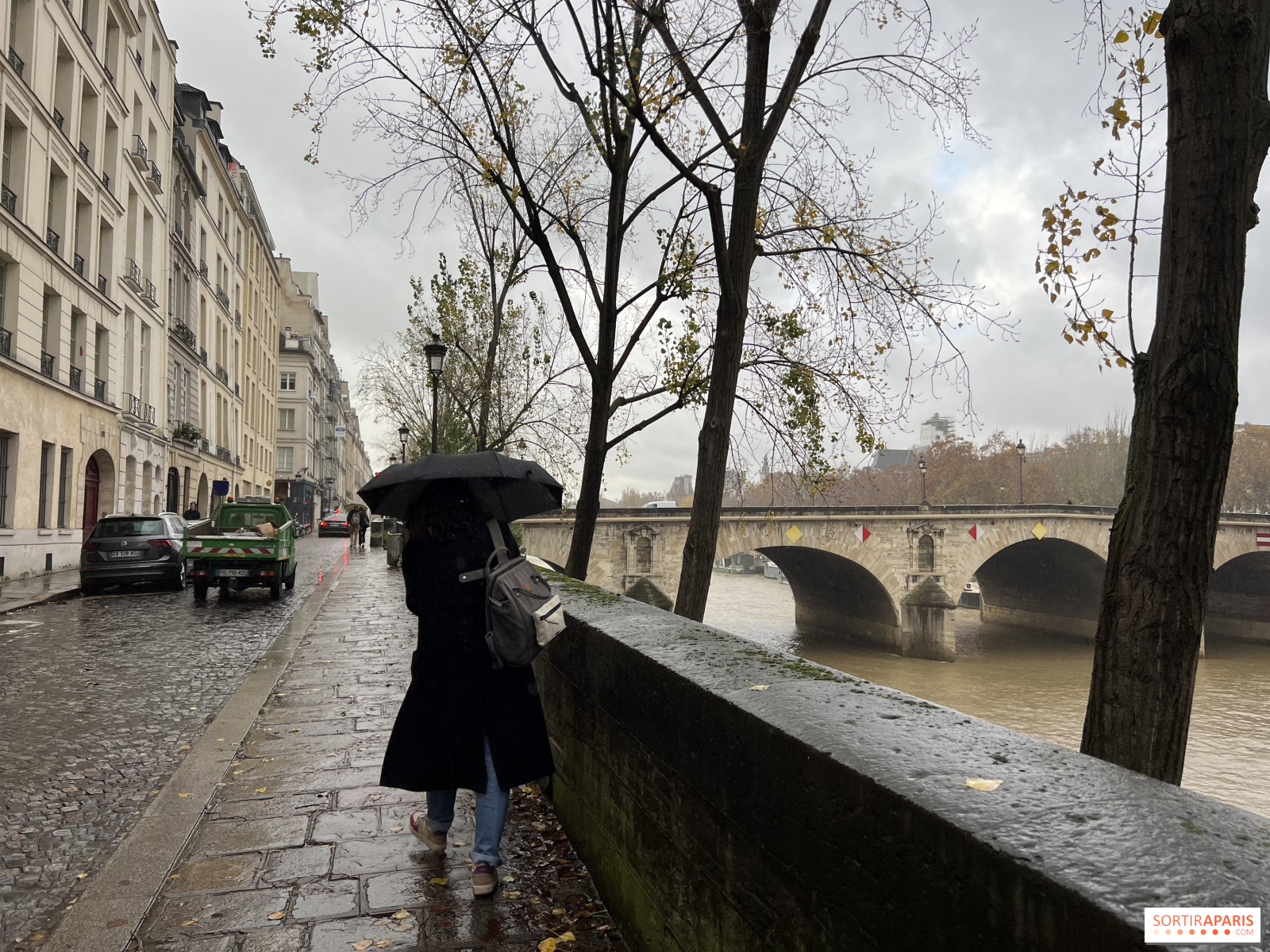
This clash of air masses is driving an active weather disturbance that moves from Brittany to Normandy, then toward the Nord-Pas-de-Calais by evening. Île-de-France lies in its path, with rain and a strong south-westerly wind that will then veer to the north-west.
The strongest gusts are concentrated along the English Channel coast, where they can reach or even exceed 100 km/h along the Finistère shoreline. In the capital, the day’s early readings were more modest, with a peak of 48 km/h recorded at the top of the Eiffel Tower.
The heatwave is behind us. Highs hover around 23°C in Paris and edge a bit higher to the south of the region, under overcast skies and scattered showers. The contrast is striking with the 38°C recorded yesterday in the country’s south.
The shift continues overnight, with a sharp drop in nighttime lows. By Wednesday, September 9, 2026, no department in Île-de-France will appear on Météo-France’s vigilance map.
The yellow alert does not signal anything extraordinary. It indicates ordinary conditions in the region, but these can become locally dangerous, especially for weather-sensitive activities.
In practical terms, the instruction is to stay informed about how the situation is evolving. The official wind-risk guidelines call for stowing balcony furniture, watching for falling branches and objects, and not undertaking roofing work. On the road, you can check traffic conditions at Bison Futé, and the departmental update is available on the Paris vigilance page.
Let's be honest: today isn't the best day for outdoor projects. If the wind picks up, it's wiser to postpone outdoor outings and switch to indoor, sheltered activities.
Museums, the current exhibitions, and Paris’s cinemas offer ideal refuges to fill an afternoon. The major institutions and the city’s galleries generally stay open, and it’s often during the week that people get the most out of these venues.
This page may contain AI-assisted elements, more information here.