After the GR 1, which takes you around the Ile-de-France region, the GR 2, which follows the course of the Seine, and the GR de Pays, which follows in the footsteps of the Impressionists, the Paris region offers a wide range of circuits and itineraries for hikers less than 10 kilometers from the capital, or, more often than not, with your Navigo pass.
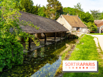
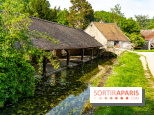
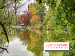
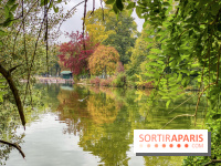
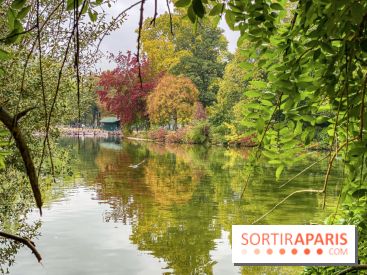
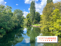
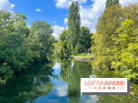
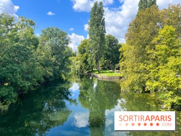
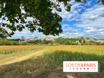
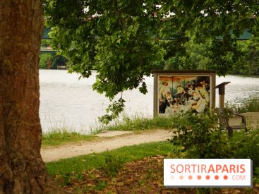
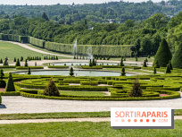
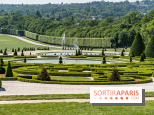
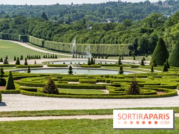
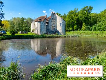
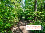
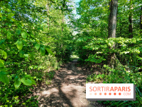
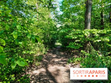
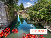
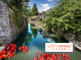
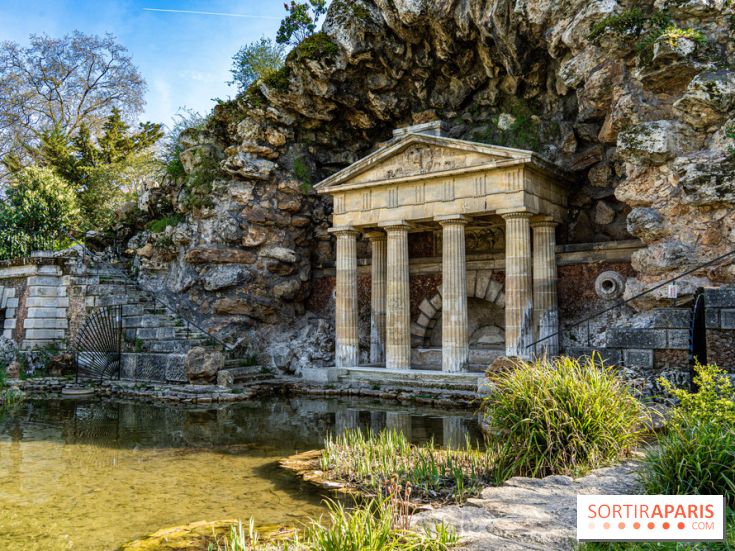
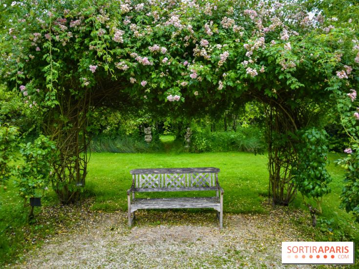
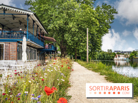
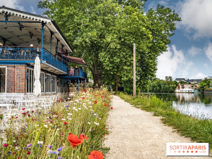
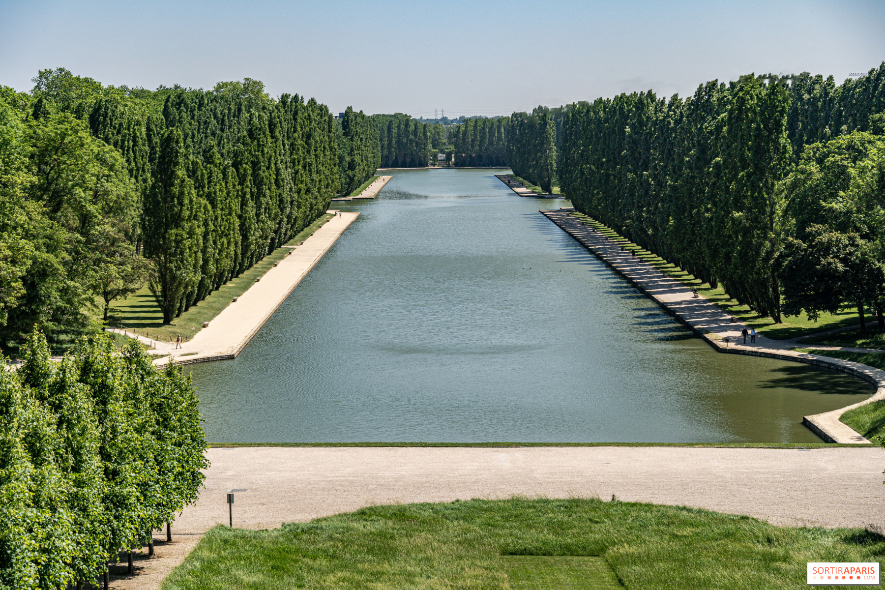
In the inner suburbs, the GR de Pays de la Ceinture Verte offers a 350-kilometre itinerary through the whole of the inner suburbs, enabling you to discover the most beautiful green spaces in the area. With excellent rail, RER and Transilien services, the Ile-de-France Green Belt passes through some of the region's great natural sites and forests: the Haute Vallée de Chevreuse, the Sénart forest, the Marne valley, the loops of the Oise... Along the 24 stages of this hiking trail, you'll also discover magnificent parks and must-see Île-de-France monuments, such as theAxe Majeur in Cergy, the magnificent Domaine départemental de Sceaux, the Meunier chocolate factory in Noisiel, the Parc de la Poudrerie in Sevran, etc.
As with all long-distance hiking trails, you're free to choose the stages, duration and distance to suit your tastes: the Fédération française de randonnée (FFR) offers 24, each ranging from 12 to 22.5 km, and all accessible by train. To discover these beautiful walks, you can obtain the official topoguide (or borrow it from the library) or find the sections already prepared on your smartphone, with the official FFR application, MaRando! Then, once you're there, remember to follow the yellow-on-red signposts: how about exploring one of the stages of this Green Belt GR de Pays, in the inner suburbs?
Dates and Opening Time
From October 22, 2023 to December 31, 2028
Prices
Free
Official website
www.ffrandonnee-idf.fr