GR 1: the long-distance footpath that circles the Île-de-France region

Published by Margot de Sortiraparis · Photos by My de Sortiraparis · Published on November 5th, 2023 at 06:00 p.m.
Île-de-France is far from being one of France's largest regions, but you'd have to travel more than 600 kilometers to get around it. In any case, that's what the GR 1, the long-distance hiking trail that takes you around the region... on foot!

One of the oldest Grande Randonnée (or GR) trails in France, the GR 1 starts at Porte Maillot in Paris and winds its way around the whole of the Île-de-France region. It's an opportunity to discover the departments of the Paris region and their treasures on foot, for one or two stages, or along the 600+ kilometer circuit.

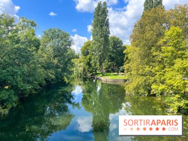
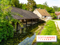
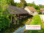
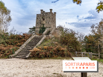
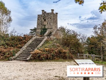
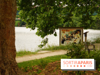
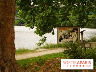
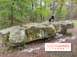
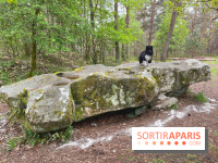
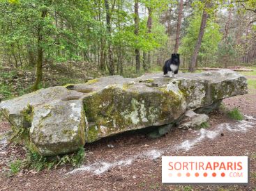
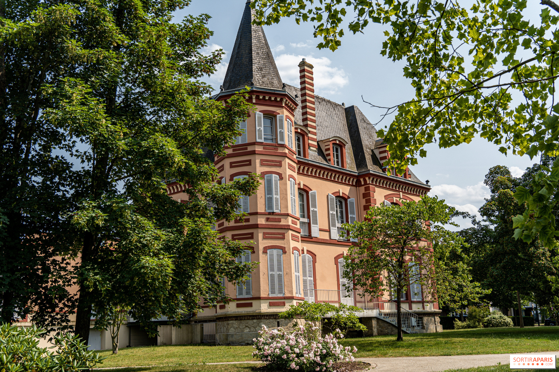
In all, there are more than 24 stages, which you can divide into several hikes according to your fitness level and desires. Ranging from 7.5 km to 43 km, you'll need to be in good physical condition - and have well-prepared calves - to venture out on this tour of the region. Along the way, you'll discover some of the most beautiful forests in Ile-de-France, as well as castles, bucolic villages and little nuggets that are unique to the region. Not to mention the beautiful affolantes at Bois-le-Roi (77), the bucolic banks of Isle-Adam, the state forest of Rambouillet and its many treasures in the Vallée de Chevreuse... The GR 1 allows you to cross the seven départements that make up the Île-de-France region on an itinerary accessible with a Navigo pass, as all hikes are designed to go from one station to another.

If you're up for the adventure, we suggest you find the GR1 sections on theofficial application of the French Hiking Federation (FFR), MaRando, or buy the official topoguide , available in bookshops. A wonderful hiking trail to discover in the region!

Stages of the GR 1 :

  • Paris Porte Maillot to Vaucresson station, 15.5 km
  • from Vaucresson to Saint-Nom-de-la-Bretèche station, 12 km
  • Saint-Nom-de-la-Bretèche to Vernouillet-Verneuil station, 28 km
  • from Vernouillet-Verneuil to Us station, 26.5 km
  • from Us to Pontoise station, 28.5 km
  • from Pontoise station to Isle-Adam-Parmain station, 23 km
  • from Isle-Adam-Parmain station to Viarmes station, 25.5 km
  • from Viarmes to Orry-la-Ville station, 18.5 km
  • from Orry-la-Ville station to Dammartin-Juilly-Saint-Mard station, 37.5 km
  • from Dammartin-Juilly-Saint-Mard station to Meaux station, 21.5 km
  • from Meaux station to Crécy-la-Chapelle station, 17 km
  • from Crécy-la-Chapelle to Marles-en-Brie station, 24 km
  • from Marles-en-Brie station to Verneuil-l'Etang station, 17 km
  • from Verneuil-l'Etang station to Melun station, 34.5 km
  • from Melun to Bois-le-Roi station, 12.5 km
  • from Bois-le-Roi station to Malesherbes station, 43 km
  • from Malesherbes to Boutigny-sur-Essonne, 26.5 km
  • from Boutigny-sur-Essonne to Lardy station, 24 km
  • from Lardy station to Saint-Chéron station, 21.5 km
  • from Saint-Chéron to Dourdan station, 16 km
  • or from Dourdan to Rambouillet station, 31.5 km
  • Rambouillet to Gazeran station, 7.5 km
  • Gazeran to Montfort-l'Amaury station, 32.5 km
  • from Montfort-l'Amaury to Saint-Nom-de-la-Breteche, 32.5 km
Practical information

Official website
www.ffrandonnee-idf.fr

Comments
Refine your search
Refine your search
Refine your search
Refine your search