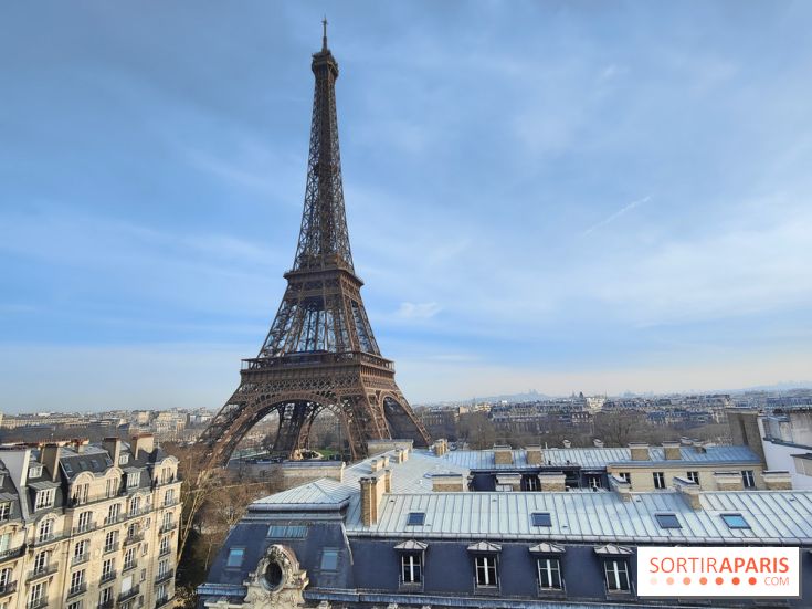
The weather in Paris and Île-de-France puts the mild spell behind it for the week of Monday, October 19 to Sunday, October 25, 2026. After a noticeable cool-down over the weekend, the sky will cloud over, rain returning in fits and starts, and the wind could pick up noticeably between Friday and Saturday. In Paris (75), daytime highs will hover around 10°C on Saturday.
Paris isn’t the only area in play. The Hauts-de-Seine (92), the Seine-Saint-Denis (93) and the Val-de-Marne (94) are following the same pattern, just as the Yvelines (78), the Essonne (91), the Seine-et-Marne (77) and the Val-d'Oise (95). We bring you a day-by-day update based on forecasts from Météo-France and the expert forecasts from Météo Paris, refreshed this Sunday, October 18.
It all begins with a cold pocket of air aloft over northern France this weekend. It has been named Adam by the Spanish meteorological agency, the top entry on the list of storms shared with Météo-France, as Météo-France explains in its October 16 briefing.
As it makes its way toward the Atlantic, this cold air mass brings heavy rain to the Southeast at the start of the week. Météo Paris details the regions most exposed to Depression Adam, from Languedoc to Provence and Corsica. Île-de-France remains largely unaffected by this episode.
The real change arrives on Wednesday. The flow shifts westward, and a powerful jet stream crosses over France. Imagine a conveyor belt that speeds up: Atlantic disturbances race by at full tilt, with depressions sometimes very shallow near the British Isles.
The week starts off cool, with 6°C at dawn in Paris, a touch below the seasonal norm. Météo-France had forecast a sunny day on Friday. The Météo Paris outlook, refreshed on Sunday, leans toward some fog at first light, then a cloudy sky with a chance of a few showers.
The afternoon will reach about 15°C, with a light northeast breeze. The coat is back in use for the morning commute.
The Tuesday, October 20 is shaping up to be grayer and wetter. Météo Paris forecasts between 2 and 4 millimeters of rain for the day. The night remains mild, around 12 degrees, but the afternoon won’t rise above 15 degrees.
The umbrella should be tucked into the bag first thing in the morning.
Wednesday, October 21, brings a brief respite, with rainfall unlikely to exceed 2 millimeters. Temperatures will rise from 7°C in the morning to 14°C in the afternoon.
It's also the day when the atmospheric circulation begins to swing westward. The calm has the feel of a waiting room before what's to come.
Thursday, October 22 is forecast to be dry in Paris, with 7°C at dawn and 16°C in the afternoon. It will be the mildest day of the week.
The first gusts of wind will affect mainly Brittany and the Atlantic coast. According to Météo Paris's analysis, gusts could top 70 km/h in parts of the northwest quadrant, with a possible extension toward the Centre. Île-de-France is initially expected to miss the strongest gusts on that day.
Friday, October 23 marks the return of more persistent rain, with 4 to 6 millimeters expected. Temperatures will hardly budge, from 11°C in the morning to 14°C in the afternoon.
The European model points to a shallow low-pressure system, around 975 hPa, moving quickly toward southern England. Gusts of 70 to 100 km/h could affect several areas in the West and North, with Île-de-France also potentially in the firing line. These figures are provisional and will be refined in the coming days.
The Saturday, October 24 will be the coldest afternoon of the week, with just 10°C in Paris. The morning starts at 7°C and rain returns, with 4 to 6 mm expected.
Some models project the strongest gusts sweeping inland across the northern half of the country that day. If this scenario proves correct, this Saturday of the holidays could be the windiest day of the week in Île-de-France.
Sunday, October 25 looks dry, but the morning will be chilly, with around 4°C in Paris and probably a little less in the outer suburbs. Afternoon highs will reach about 13°C.
A quick reminder: the time change happens overnight from Saturday to Sunday. At 3 a.m., clocks go back to 2 a.m. One extra hour of sleep—and evenings will start getting darker earlier from the following week.
At this stage, nothing is decided yet. Meteo Paris is predicting a potentially stormy spell, fed by a very active jet stream. The forecaster notes, however, that it would be premature to call it an explosive low. Everything will depend on the exact path of the depressions between Friday and Saturday.
The reference remains the Météo-France vigilance map, updated several times a day. If a wind alert is issued, it’s best to bring balcony furniture indoors, steer clear of trees, and postpone outdoor activities. With leaves still on the trees, they catch more wind. Météo-France also reminds people of the proper precautions in case of strong winds.
On the rainfall front, totals remain modest, roughly 10 to 20 millimeters over the week according to Météo Paris. It’s light for Île-de-France soils still marked by September’s historical drought, but this return of rain is welcome.
If you’re hitting the road or taking the train for the All Saints’ Day holidays, which run through November 2 for all zones, a quick check of the metro, RER and trains traffic update and the week’s disruptions can help you plan ahead. Strong winds may also slow down some rail lines.
With rain and gusts forecast for the weekend, we’re leaning toward indoor outings. Paris’s museums and exhibitions are well suited to that, as are the latest cinema releases.
The week is packed with contemporary art, headlined by Art Basel Paris at the Grand Palais from October 23 to 25, and Design Miami Paris in the 7th arrondissement. Our guide que faire cette semaine à Paris gathers the events from October 19 to 25, indoors and outdoors.
To keep the kids busy during the holidays, our roundup of family-friendly outings for All Saints’ Day 2026 features workshops, performances and Halloween activities. And to plan Saturday and Sunday, the guide que faire ce week-end à Paris et en Île-de-France is updated every week.
The Orionids meteor shower peak, expected the night of October 21-22, could be hidden by clouds over Paris. Forecasts can still change before then: checking the Île-de-France forecast page from Météo-France remains the best first step before heading out.
This page may contain AI-assisted elements, more information here.
Dates and Opening Time
From October 19, 2026 to October 25, 2026
Recommended age
For all