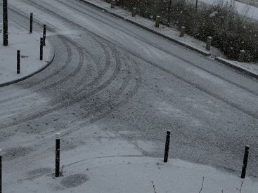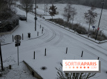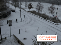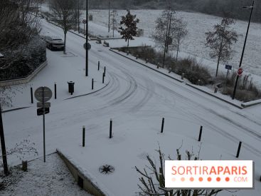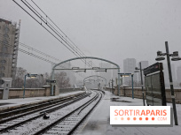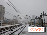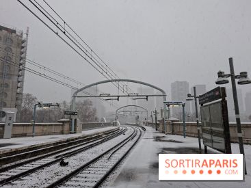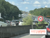
As Paris awoke to a blanket of white snow on Tuesday, January 6, all eyes are now on what tomorrow will bring. After a chaotic Monday marked by over 1,000 km of traffic jams and the suspension of a large portion of bus services across Île-de-France, a pressing question dominates discussions: will Météo France trigger the red alert for snow and ice on Wednesday, January 7, 2026?
While the orange alert for ice and icy patches remains in effect, a more active weather disturbance is expected this Wednesday. Forecasters warn that the snowfall could be much more significant than Monday’s, with temperatures staying below 0°C. This combination raises the specter of reaching the highest level of alert.
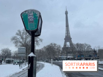
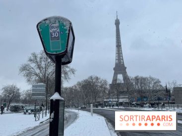
Snow hits Paris and Île-de-France this Wednesday: transportation, buses, traffic, flights—here's the latest update
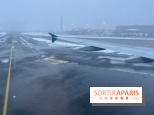
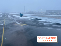
Île-de-France braces for fresh snowfall on Wednesday, January 7, 2026. All departments in the region have been issued an orange snow and ice alert by Météo-France. Public transportation, road traffic, and airline schedules are experiencing significant disruptions. Here's what we know so far. [Read more]
Unlike rain or wind, there’s no single mathematical threshold (such as a specific number of centimeters) to define an exceptional snowfall, as it largely depends on the area's vulnerability and the type of snow. The key criterion is whether the snowfall is unprecedented or extremely rare for the region in question.
Typically, a snowfall of 15 to 20 centimeters within just a few hours, or a widespread episode of freezing rain, could warrant a high alert. Wet, heavy snow is more hazardous than dry snow because it can cause roofs to collapse and power lines to break.
A red alert is issued when forecasts indicate that public services will no longer be able to fulfill their essential functions: potential complete and sustained shutdown of major roadways, rail networks, and airports. There’s also the risk of widespread, prolonged power outages, and an inability for emergency services (firefighters, SAMU) to operate normally.
A moderate snowfall can be upgraded to red alert if it occurs within a worsening context: when the snow falls on ground already frozen for several days of subfreezing temperatures (as is currently the case), it quickly sets and becomes very difficult to clear promptly.
According to Météo France, "a red alert indicates an extremely severe phenomenon. Absolute caution is required: conditions will rapidly become impossible to navigate across the entire network. Significant damage could occur to power and telephone distribution networks.
The red alert for snow and ice was established in 2001, but it has been used very sparingly in France, with such events being extremely rare and never occurring within Paris city limits. Should this threshold be crossed, here are the exceptional measures that would be implemented:
While the final decision from Météo France is expected later today, caution remains essential. The Level 3 Snow and Ice plan has already been activated.
The situation is constantly changing. Stay tuned to keep up with the latest transport updates and real-time weather alerts on Sortir à Paris.
This page may contain AI-assisted elements, more information here.
Official website
meteofrance.com


 Snow hits Paris and Île-de-France this Wednesday: transportation, buses, traffic, flights—here's the latest update