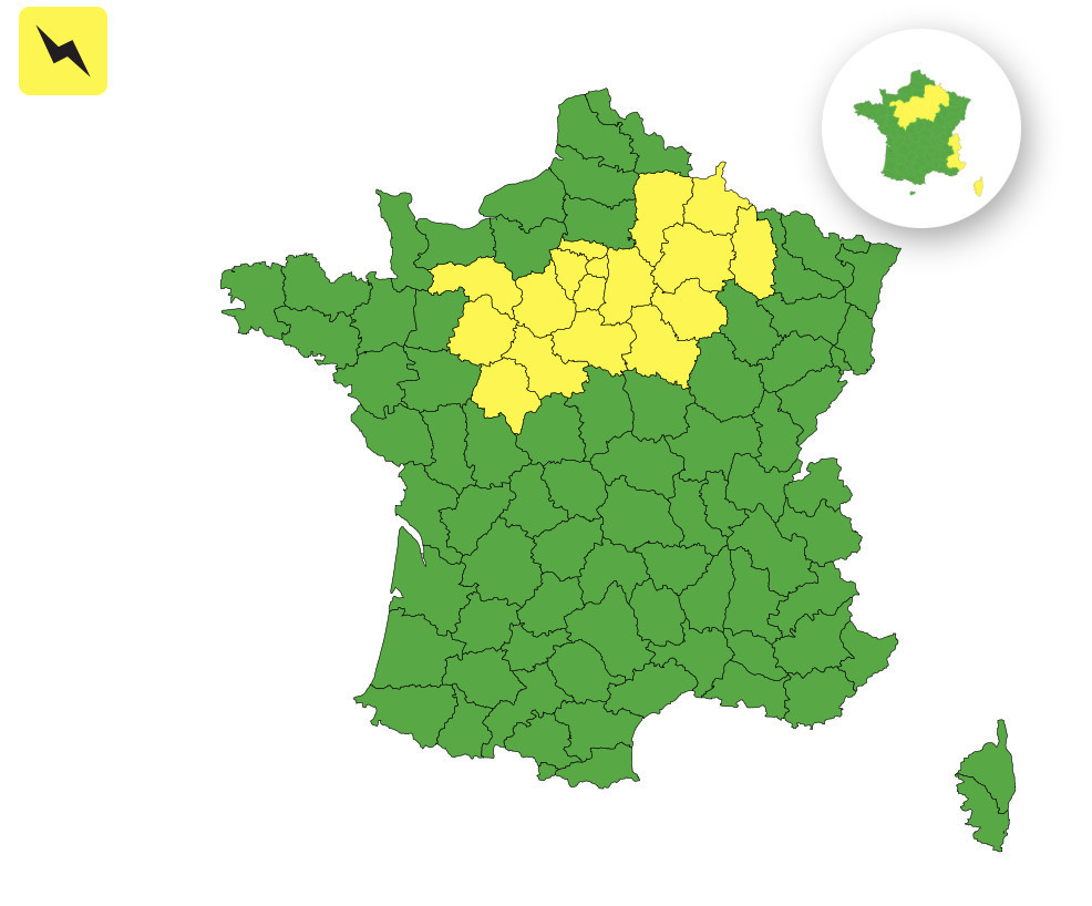
Weather turnaround on Thursday, April 9, 2026: after a spell of near-summer warmth in recent days, Paris and the entire Île-de-France region are moving under yellow thunderstorm vigilance, issued by Météo-France. The alert covers 20 departments in total, most of them concentrated around the Paris Basin.
Several departments are placed under a yellow thunderstorm alert this Thursday, led by Paris, the Seine-et-Marne (77), Yvelines (78), Essonne (91), the Hauts-de-Seine (92), Seine-Saint-Denis (93), the Val-de-Marne (94) and the Val-d'Oise (95) — effectively all of Île-de-France. Beyond Greater Paris, the alert also covers neighboring departments such as Eure-et-Loir, Loiret, Aube, Marne, Yonne and Aisne.
The disturbance will steadily advance into the northwest of France this afternoon, with clouds thickening as it moves toward the Paris Basin to bring brief showers. Thunderstorm activity is likely by late day, from the Centre-Val de Loire to Île-de-France, then toward Champagne-Ardenne. Gusts up to 70 km/h are possible under the storms. Meteo-France says the highest risk window is between 4 p.m. and 9 p.m. If you have outdoor plans this evening, it’s best to keep an eye on developments in real time.
The weather has been unusually generous in recent days. The thermometer climbed well above seasonal norms on Wednesday, April 8, reaching 24°C in Paris, and the terraces embraced the early spring vibe. This kind of contrast between lingering heat and the arrival of cooler air makes for a fertile ground for storms, and that’s exactly what’s unfolding this Thursday evening.
A disturbance arrives from the west, bringing a very overcast sky and gusts of up to 50 km/h, forecast for this evening in the country’s northwest. While the thunderstorm cells will be fairly localized at first, the instability is real across the entire Île-de-France region.
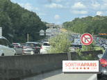
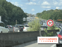
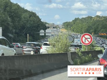
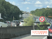
The yellow alert does not mean immediate danger is certain, but it calls for vigilance. Météo-France especially advises not to drive unless necessary, to proceed slowly when storms hit the roads, and to refrain from entering any flooded roadway. Flooding of basements and low-lying areas is possible, as are lightning strikes. For residents of Yvelines, a department that has seen notable floods in recent years, the habit of monitoring low-lying zones remains prudent.
We also recommend bringing in or securing any garden or terrace furniture before the early evening hours, and keeping an eye on real-time updates from Météo-France and Meteo-Paris.com.
This bout of unsettled weather doesn’t look like it will end there. A more organized spell is expected over the weekend, with a marked return of rain and a sharp drop in temperatures starting Saturday. After the early-April summer interlude, Parisian spring is reclaiming its place, in all its variability. That should let people plan their weekend outings accordingly, perhaps opting for indoor activities such as a museum visit or a good restaurant to enjoy the city in a different way.