The Fête de la Science is a national event, free and open to all, which has been held every year in France since 1991. Its aim is to make science accessible to as many people as possible, by offering workshops, conferences, exhibitions, laboratory visits and meetings with researchers. Young and old alike can discover scientific advances, experiment for themselves and better understand the role of research in society!
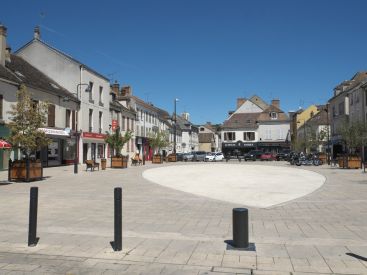
In the Ile-de-France region, it's an opportunity to discover some real little nuggets, including the Parc naturel régional du Vexin, which extends over a vast territory of plateaux, valleys and picturesque villages. Classified in 1995, it preserves an exceptional natural and cultural heritage, combining agricultural landscapes, archaeological sites and medieval churches. The park is also renowned for its links with the history of Impressionism, with many painters such as Van Gogh finding inspiration in its scenery.
Please note that tours must be booked in advance!
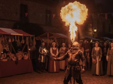
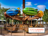
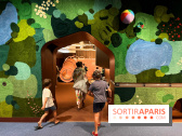
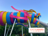
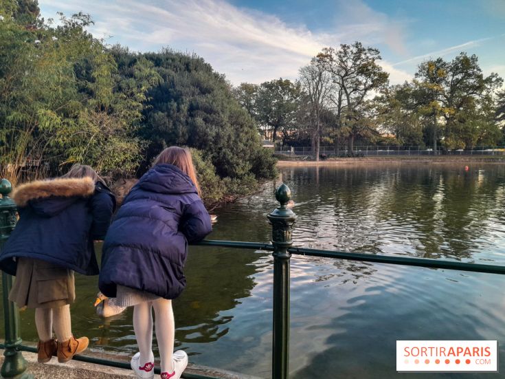
Fête de la Science 2025: 10 free, not-to-be-missed events in Paris and the Île-de-France region
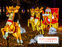
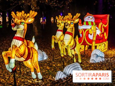
Across Paris and the Ile-de-France region, numerous museums, schools and institutions are mobilizing from October 3 to 13, 2025, to bring us a great Fête de la Science 2025. It's hard to choose between all these free events, so the editors have put together their top 10! [Read more]
Saturday, October 4
10:00 am to 12:30 pm
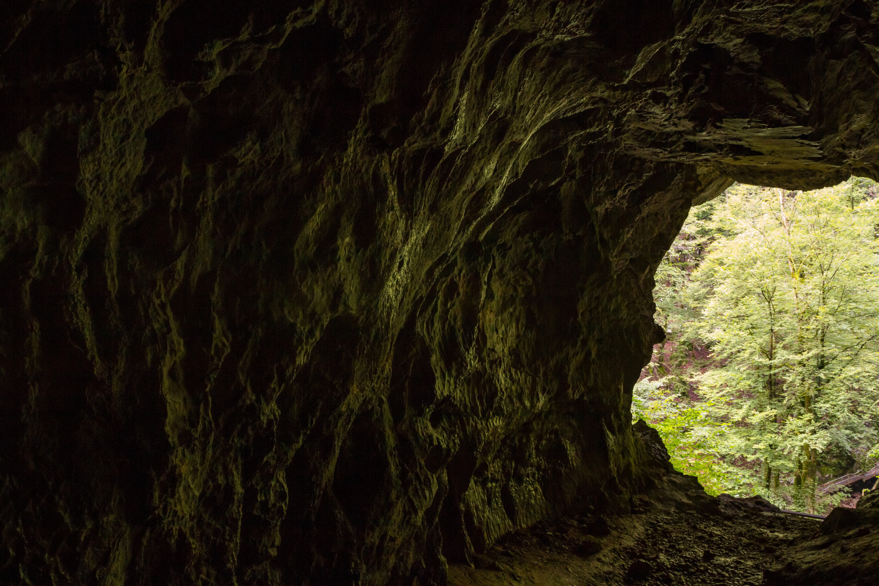
Le Perchay: an artistic-geological stroll
The ravine of Le Perchay is an "object" whose workings fascinate geologists to the point of making it
an experimental field for a thesis in progress. It's also a peaceful (in general) and inspiring place for artists. This makes it the ideal setting for an original initiative: an artistic-geological walk! During the walk, participants will compare and contrast their viewpoints and approaches. Participants will have access to an original "artistic cartography" comparing configurations in ordinary times and in times of flooding. The maps will be integrated into a booklet combining scientific explanations, photographic archives, recent photos and sketches. The aim is to see better, so as to understand better, and thus contribute to safeguarding the Vexin landscapes.
Reservations on the following link: https://www.billetweb.fr/balade-geologique-au-perchay-en-descendant-la-ravine2
Accessible to PRM
Saturday October 4
2:00 pm to 4:30 pm
La Butte de Marines: à la recherche de l'eau
The walk begins at the site of the borehole that once supplied the town. This borehole drew water of excellent quality from the "Eocene aquifer" beneath the town (now supplied by a much deeper pumping station in Chars). Higher up, an impermeable clay and marl layer forms an undeveloped strip separating the hamlet of Les Hautiers from Marines town center. Typical morphologies of former landslides can be observed here. The clays are visible at the educational pond. From here, climb up to the former Hautiers washhouse, fed by a spring, part of a line of springs established at the top of the clay. The water emerges from a sandy formation (the "Fontainebleau sands") that forms a perched aquifer (the "Oligocene water table"). In this way, the hillock appears to be both a water tower and a sandcastle! After a detour to the statue of the Virgin, which offers an exceptional panorama over the whole of the Vexin, we cross the hamlet of Les Hautiers. As we pass through, we'll observe the building stones (millstone, sandstone, coarse Lutetian limestone) and discuss their origins. A path up through the sands alongside the old castle leads to the "Mare à Béru", a permanent pond resting on the "argiles à meulières" that form the flat top of the hillock. On the way back, we pass the "Mine d'Or" (gold mine), which still holds all its mysteries.
For bookings: https://www.billetweb.fr/balade-geologique-sur-la-butte-de-marines-en-suivant-le-trajet-de-l-eau2
Saturday October 11
10:00 am to 12:30 pm
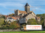
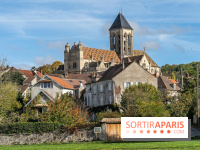
Chérence: "Au cœur du vallon"
The village of Chérence lies at the heart of a peaceful valley between the slopes of the Seine and the Villers-en-Arthies hill. It offers an open-book summary of the geological and geomorphological history of the Vexin: a history of stone and water.
For geologists, Chérence stone is a particular form of "coarse limestone" from the Lutetian period. Renowned for its mechanical and aesthetic qualities since the Middle Ages, it was used to build the Mantes bridge in the 18th century, as well as numerous Parisian buildings (Eglise de La Madeleine, Arc de Triomphe) in the 19th century. The stone was extracted from well-preserved quarries on the way to the former hamlet of Bézu. In a remarkable initiative, the municipality is making rubble stone available to residents wishing to restore their homes using "local stone".
Water is everywhere in Chérence. The village was built in a horseshoe shape along a line of springs, whose waters supply the many washhouses and the watering place at its heart. This water, laden with sand (Ypresian sand), feeds the gully in the center of the valley. The gully remains flooded as long as it flows over a level of clay (Ypresian clay), but the water seeps away as soon as it reaches the Campanian chalk 10 m below. Run-off water from the plateau and the Villers hillock, a veritable natural water tower, can be added to the water from the springs. The tour of the village will enable you to discuss all these aspects and, thanks to archive photos and maps, learn about the risks of flooding and mudslides.
For bookings: https://www.billetweb.fr/balade-geologique-a-cherence-au-coeur-du-vallon1
Saturday, October 11
10:00 am to 12:30 pm
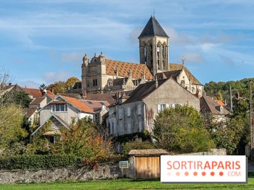
Pontoise: Le lutétien dans tous ces états
The historic town of Pontoise is built around and on Mont Bélien, a rocky outcrop of Lutetian "coarse limestone" on the banks of the river Oise. The limestone is still clearly visible in outcrops and in the many old underground quarries beneath the town (a visit to the Cave des Moineaux is on the program). Lutetian limestone has been omnipresent in architecture throughout the centuries, right up to the most recent reconstruction after the Second World War. Other stones of local origin were used for roadways (Bartonian sandstone paving stones) or in the fine homes of the 19th century (Rupelian millstone). More recently, exotic stones have been imported. A magnificent Portuguese ammonite, for example, adorns the paving of the square in front of the cathedral.
For bookings: https://www.billetweb.fr/balade-geologique-pontoise-le-lutetien-dans-tous-ces-etats
Sunday, October 12
2:00 pm to 4:30 pm
Bray-et-Lû: "A la frontière du Vexin normand"
The walk begins at the foot of the côte de Baudemont, where you can observe the Mesozoic-Cenozoic transition, with a rare (even exceptional) outcrop of "Vigny limestone" (Danian) at the top of the chalk, which was once quarried underground. The Aveny bridge was built from this rock, elements of which are also found in the fortifications of Château-sur-Epte. Above this comes the classic trilogy of the Vexin Tertiary: clays and sands (Ypresian) followed by gossier limestone (Lutetian), which forms the narrow plateau of La Villeneuve. The presence of clay explains the numerous springs (such as the St Martin spring) and seeps, as well as gravity instabilities, including a very recent landslide that is still clearly visible. On the way down, you'll see the troglodytic cavities in the chalk that were once used to store tubers (potatoes, carrots, etc.) and for forcing chicory. The walk ends in the Epte valley, where the hydrogeological workings of the river will be explained
Bookings can be made via the following link: https://www.billetweb.fr/balade-geologique-a-bray-et-lu2
Dates and Opening Time
From October 4, 2025 to October 12, 2025
Location
Véxin Français Regional Nature Park
Parc Naturel Régional du Vexin Français
95450 Themericourt
Prices
Free
Official website
www.fetedelascience.fr


 Fête de la Science 2025: 10 free, not-to-be-missed events in Paris and the Île-de-France region