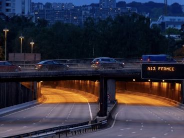
The weather in Paris is set to take on several faces this week. The capital and the Île-de-France region begin the period under intense heat, with thermometers edging toward 37°C on Monday, August 3. This oppressive atmosphere could, however, foster the development of storms, before a gradual cooling as the days go by.
According to Météo-France's latest forecast, sunshine should regain the upper hand thereafter, despite a few cloudy intervals and a potentially unsettled spell midweek.
This lundi 3 août is shaping up to be particularly hot in Paris and much of Île-de-France. Temperatures could reach 34 to 37°C in the afternoon, with skies gradually growing more cloudy.
A risk of thunderstorms is also being reported, with gusts locally topping 55 km/h. Paris is placed under a yellow heat and storm alert. In the evening, temperatures should still hover around 30°C, while the night will be hard to breathe.
So, before you head out, check the Paris metro and RER travel updates here: Paris metro and RER transport news and then consult the day’s headlines for Paris and Île-de-France: news and updates for Paris and Île-de-France. Also keep an eye on air quality in Île-de-France with Airparif, which can be affected by heat waves. Ozone pollution in Île-de-France remains a key indicator to monitor on sunny, hot summer days.
A slight improvement is expected as early as mardi 4 août. The sky should remain generally sunny after a possible morning showers-and-thunderstorms. Highs will be around 30 to 32°C.
Wednesday, August 5, the weather will stay dry and sunny, with around 29°C at the day's high. Mornings will also begin to cool, around 20 °C, bringing a touch of freshness after several hot nights.
Two perfect sunny days to enjoy refreshing outings in Paris and Île-de-France, or to take in the Olympic basin at the Jardin des Tuileries, open all summer until September 14, 2026.
The day of Thursday, August 6 is expected to bring a genuine cooldown from the heat. Météo-France forecasts largely sunny skies in Paris, with temperatures ranging from 17°C in the morning to 26°C in the afternoon.
A few showers or thunderstorms remain possible depending on how the situation evolves. Friday, August 7, conditions are expected to calm down and become more pleasant, with sunny spells and around 25 to 26°C.
The weekend of August 8 and August 9 could be hotter and largely sunny. Temperatures are expected to rise to around 28°C on Saturday, then reach or surpass 30°C on Sunday.
As of now, this trend remains to be confirmed. The week is expected to end with summer-like conditions favorable for getting out, after an opening period marked by a heatwave and thunderstorms. We will continue to consult the Météo-France meteorological vigilance map and the practical guidance from Santé publique France for hot days. To follow daily forecasts, Météo-France remains the reference.
This page may contain AI-assisted elements, more information here.
Dates and Opening Time
From August 3, 2026 to August 9, 2026
Recommended age
For all