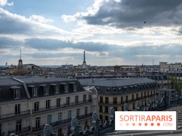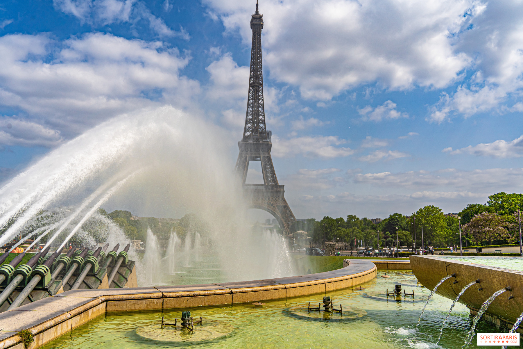
The heatwave is easing in Paris and the Île-de-France. After several days of red alerts, Météo-France lowers the warning to orange starting at 6 a.m. this Wednesday, July 15, 2026, in the eight Île-de-France departments: Paris (75), Hauts-de-Seine (92), Seine-Saint-Denis (93), Val-de-Marne (94), Seine-et-Marne (77), Yvelines (78), Essonne (91) and Val-d'Oise (95). A somewhat welcome development, because the heat, for now, is not leaving the region.
The institute puts it simply: the very hot air mass that’s been sitting over us for several days is starting to retreat from the west, pushed by a storm system that will advance across the region as Wednesday unfolds. It should nudge temperatures down a little, but it won’t bring an end to the heat wave.
The heat remains high. On Tuesday afternoon, temperatures were still around 33.3°C at Paris-Montsouris, 36.6°C in Saint-Maur-des-Fossés (94), 35.5°C in Neuilly-sur-Marne (93), and 33.2°C in Suresnes (92). Tuesday night into Wednesday is expected to be just as oppressive, with minimums between 21 and 24°C.
Wednesday afternoon, highs will hover around 32–34 °C across the region. On Thursday, the sky over Paris will cloud up with high clouds in the morning, starting at 21 °C at dawn and rising to 32 °C in the afternoon, with a chance of storms not to be ruled out.
Friday brings a real breath of relief. Thanks to occasional, sometimes thunderous showers, temperatures finally slip back below 30°C, with the capital staying under 28°C. A welcome respite after a sweltering week.
That’s the question already buzzing among forecasters. After three heatwaves in a month and a half (a pace unseen in France), weather models are turning their attention to the second half of July. According to European and American projections carried by Météo-France’s long-range forecasts, the easing over the weekend of July 18-19 could prove to be only a brief interlude.
The same weather pattern from previous waves (the anticyclone parked over the British Isles and the Iberian depression) remains wedged between the Atlantic and Western Europe. A fresh surge of hot air coming from the Sahara could reach France around July 20–26, 2026, with locally temperatures approaching 40 °C in some scenarios.
For now, caution is warranted: nothing has been decided. One or two very hot days would not be enough to speak of a heat wave. It will take persistently high temperatures and tropical nights for a fourth heatwave to be officially characterized. The forthcoming updates from Météo-France will refine the trend.
In the meantime, solid habits still apply: drink regularly, avoid strenuous activity during the hottest hours, and check in on people who are vulnerable. To monitor how vigilance evolves department by department, the Météo-France map remains the reference, just like the national Canicule info service platform.
This page may contain AI-assisted elements, more information here.