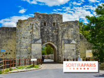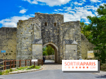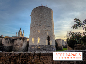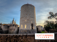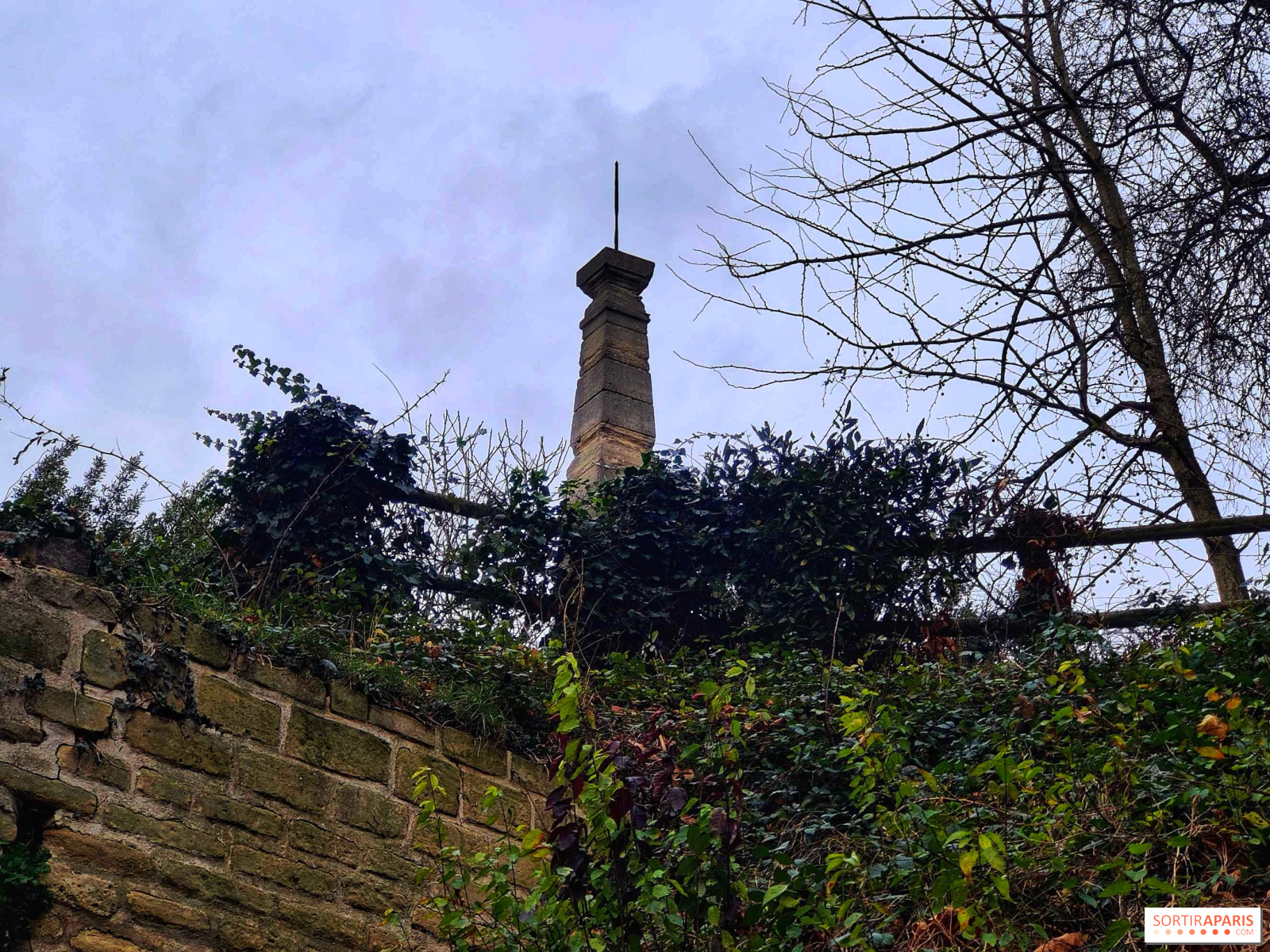
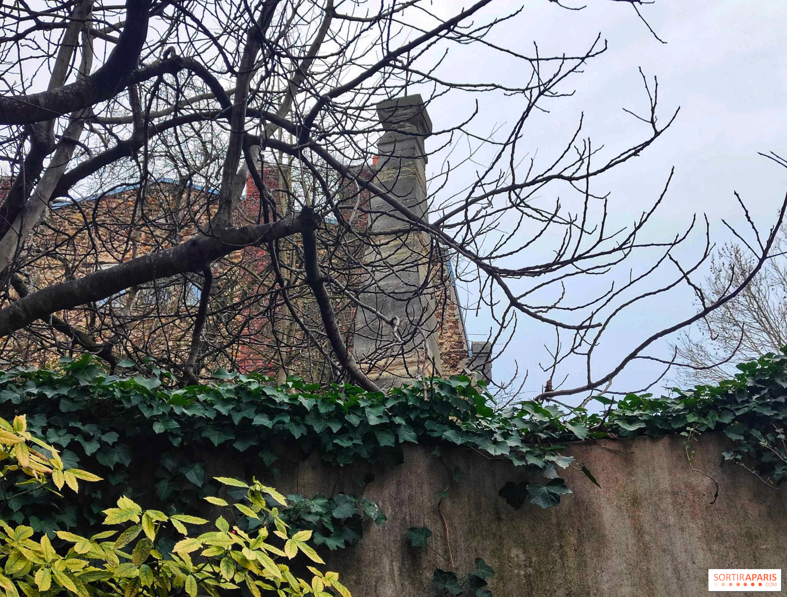
As you stroll along the Avenue de Paris in Villejuif, nestled between modern buildings and the hum of the National 7 highway, it’s easy to pass by without a second thought. However, this stone obelisk, located at number 157 bis and gently leaning like its cousin in Pisa, is one of the most significant monuments in France’s scientific history. Discover the story of the Cassini Pyramid.
In the 18th century, the Kingdom of France was like a geographical enigma. Maps from that era were so imprecise that Louis XV liked to joke that his cartographers lost more land than his enemies did! To fix this, the king commissioned a monumental project: the first detailed topographic map of the kingdom.
This is where the Cassini family steps into the spotlight—a lineage of pioneering astronomers. To accurately map an entire country, measurement tools alone aren't enough; what’s needed is pure geometry: triangulation.
In 1742, Jacques Cassini erected this pyramid, which is technically a geodetic marker. It’s not just a decorative structure: it serves as a precise visual reference point. When combined with another marker located in Juvisy-sur-Orge, it enables the plotting of a perfectly straight line measuring 11,037 meters along the route to Fontainebleau.
This precisely measured distance, unprecedented for its time, became the foundation for all subsequent calculations. From this baseline, scientists drew imaginary triangles connecting church steeples and hilltops across France, gradually mapping the entire country.
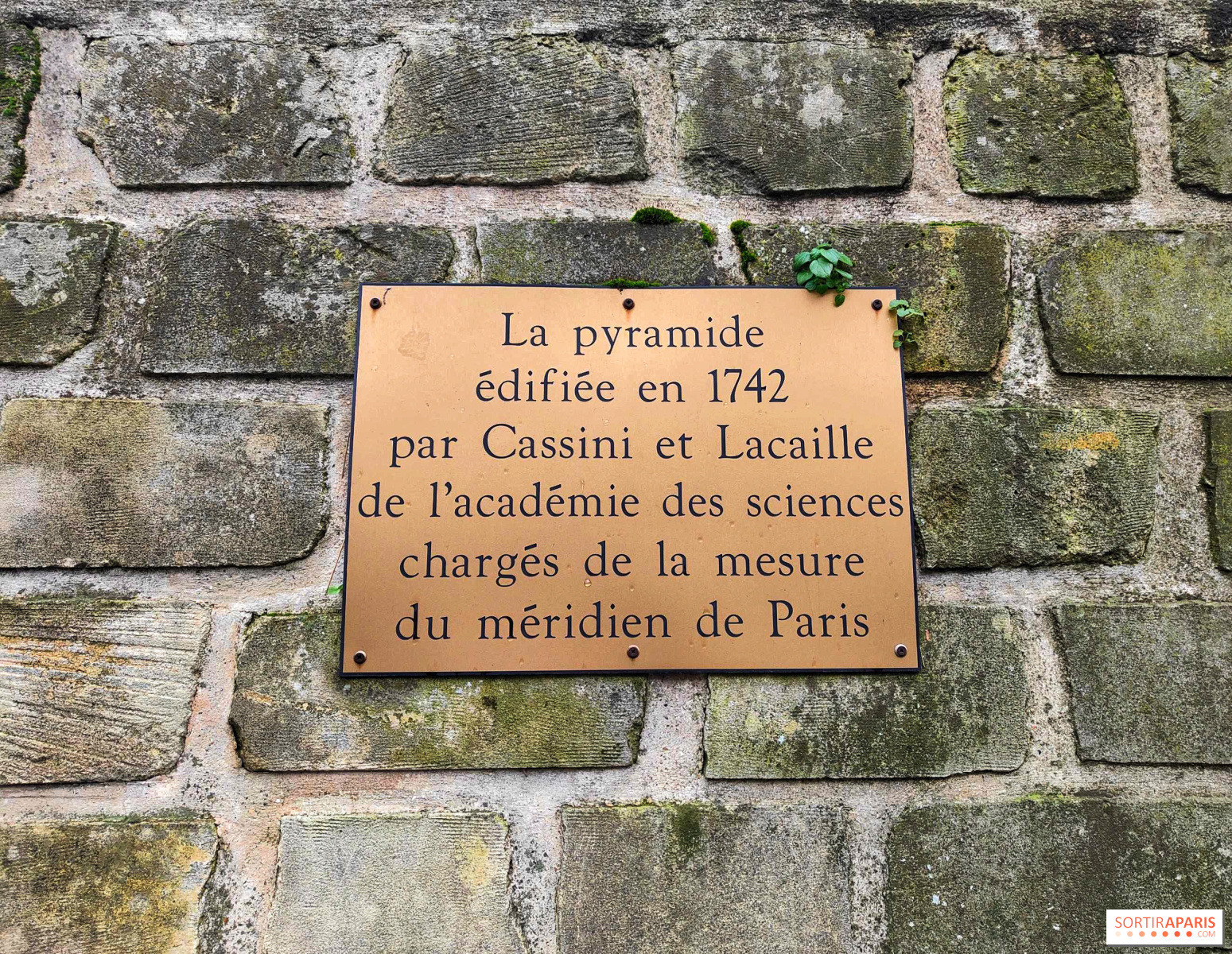
The journey didn't end there. By measuring this segment of the Paris meridian, scientists were able to calculate the Earth's circumference. It was through these measurements, initiated in Villejuif, that the French Revolution would later help define a universal, natural, and unchanging unit of measurement: the meter (originally defined as the ten-millionth of the half-meridian of the Earth).
Today, the pyramid, a nickname given by locals, is officially listed as a Historic Monument. Slightly tucked away but visible atop its hill, it seems to watch over passing cars with the wisdom of an ancient sage. It is currently the focus of a comprehensive restoration project set to conclude in May 2026, aiming to restore its former splendor with the help of the Heritage Lottery Fund. If it leans, it's not due to Cassini's miscalculations, but because of ground movements and its venerable age.
This page may contain AI-assisted elements, more information here.