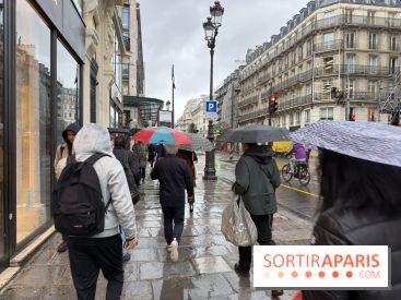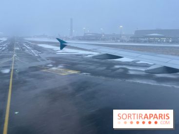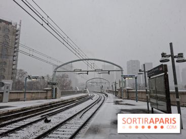
Last night was chaotic in the capital. A winter storm dubbed Goretti swept through Île-de-France, causing some damage, bringing down trees onto roads, and disrupting train services. While the anemometers were spiking wildly, the situation was far more intense in the Manche department, where wind gusts topped 200 km/h. But how do these gusts in Paris compare to the historic records set at the top of the Eiffel Tower and within the city center?
To find the record-breaking winds in Paris, you need to go back to the storm Lothar, on December 26, 1999. That day, a memorable event for many French people, ranks as one of the most violent storms the country has ever experienced. The wind's fury reached unprecedented heights, matching those rarely seen since meteorological records began in France.
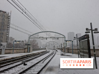
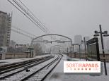
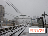
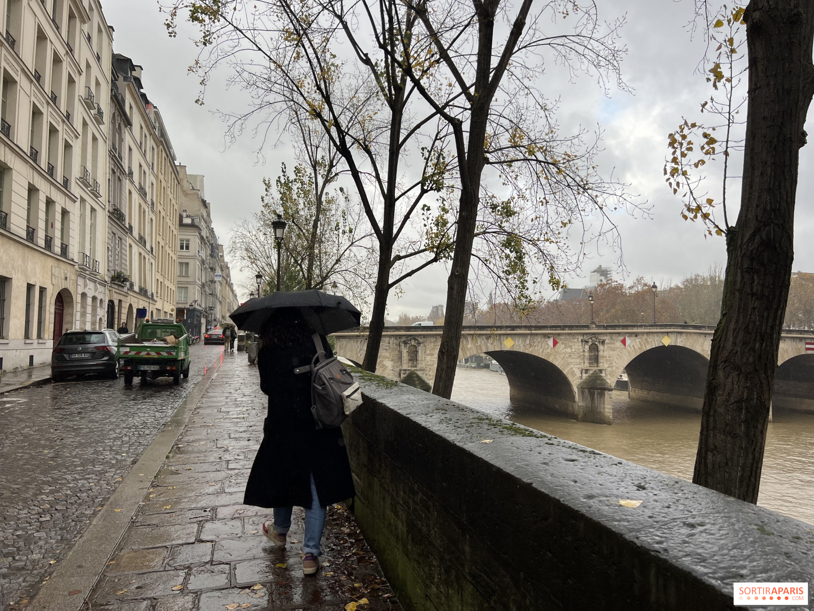
During the night from January 8 to January 9, 2026, the storm was intense, and its impact was felt across the city streets. However, it falls significantly short of the ferocity of the 1999 chaos. Here are the figures reported by Météo-France:
This difference stems from what is known as urban roughness. At ground level, buildings, trees, and monuments slow down the wind and generate turbulence. But at 300 meters in the sky, atop the tower, there's nothing to impede the air currents. There, the wind usually blows at 30 to 50% stronger than it does on the streets below.