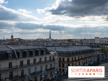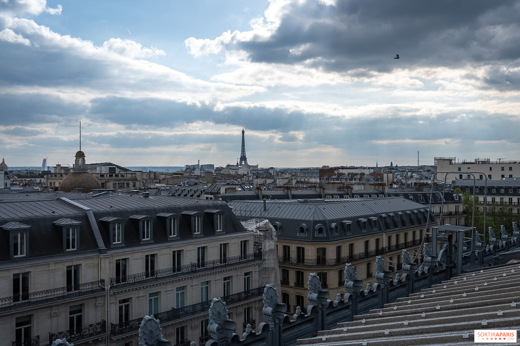
The thunderstorms are back in focus over Paris (75) and the Île-de-France. After a gruelling heatwave, Météo-France has issued yellow thunderstorm alerts for the region on Thursday, July 16 and Friday, July 17, 2026, from the capital to the outer suburbs. The very hot air mass that had been stagnating over the country is shifting to the west, bringing a markedly more unsettled sky and a genuine cool‑down in temperatures.
The yellow thunderstorm alert covers the entire Île-de-France region. It affects Paris (75), Seine-et-Marne (77), Yvelines (78), Essonne (91), Hauts-de-Seine (92), Seine-Saint-Denis (93), Val-de-Marne (94) and Val-d'Oise (95).
Elsewhere, the situation is intensifying. The orange alert for storms mainly covers the center and east of the country (Cher, Allier, Nièvre, Puy-de-Dôme, Loire, Rhône, Ain, Côte-d'Or, Saône-et-Loire, Jura, Doubs). Meteo-France notes that this orange vigilance could be extended to other departments later today, with forecast confidence remaining low.
The first storms develop in the early afternoon, then multiply and intensify. In Île-de-France, classified yellow, the alert remains milder than in areas previously orange, but it is still enough to stay cautious.
In the most exposed areas, these thunderstorms can locally be accompanied by several phenomena:
We are monitoring hour-by-hour developments on the Météo-France vigilance map, continuously updated for the region.
Good news amid these thunderstorms: the heat wave is finally loosening its grip. Météo-France says the orange heat-wave alert will be lifted in the eight Île-de-France departments on Thursday evening, returning to green by Friday morning.
On Thursday, July 16, in the early hours, temperatures were already at 21.6°C at Paris-Montsouris and 20.7°C in Saint-Maur (94). The high temperatures will still peak between 32 and 34°C this afternoon, before dropping below 30°C again starting Friday. We detail this lull in our update on the end of the heatwave in Paris and on the return of rain in Île-de-France.
A few simple precautions are enough to get through these two days under watch. Avoid sheltering under trees, postpone forest and lakeside strolls, and secure anything that could be blown away on balconies and terraces.
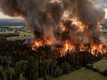
Caution remains warranted in the parched upland areas, where lightning can spark new blazes, as the Fontainebleau forest has just emerged from a fierce wildfire. Before heading out, it’s also wise to check transport disruptions in Île-de-France, which remain widespread this week.
For a dry outing, our guide des sorties de ce jeudi 16 juillet and our idées pour le week-end des 17, 18 et 19 juillet are full of indoor-friendly deals.
This page may contain AI-assisted elements, more information here.
Dates and Opening Time
From July 16, 2026 to July 17, 2026
Location
Paris and the Île-de-France region
Paris
75 Paris
Route planner