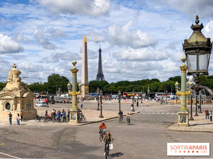
The outlook has enough twists to surprise as we move into the latter half of September. After an unusually mild start to the week, Paris (75) and the entire Île-de-France are poised to drop by several degrees from Wednesday, September 16, 2026, before a possible return of heat the following week. This is the scenario sketched out by the latest models shared by Météo Paris, the site run by Guillaume Séchet and the Météo-Villes team.
The explanation boils down to a simple shift in the weather pattern. The high-pressure system over the Atlantic eases up temporarily, opening the door to a northwesterly flow and ushering in noticeably cooler air across France.
As a result, from Tuesday 15 to Wednesday 16 September, most of the country will see daytime highs fall by 8 to 12°C. The heat, meanwhile, shifts toward the Mediterranean coast. This cool spell is expected to persist at least until Friday 18 September 2026.
The cool spell could be short-lived. High pressure, briefly shifted to the west, is once again edging toward France as the weekend ends, with a west-southwest flow reasserting itself.
Warmer air is pushing in from northwestern Africa and the Iberian Peninsula, bringing brighter skies to many regions. The lift in conditions is expected to be strongest from Sunday, September 20, with a marked improvement in the south of the country and a more modest one in the north, including Île-de-France.
That’s the real question as the month ends. According to the latest model runs, a south-to-southwest flow could strengthen aloft over western Europe, allowing hot air to surge further north by midweek in the week of September 21, 2026.
In this scenario, the 30°C threshold for strong heat would again be reached even in northern France, while the 35°C mark for very strong heat would be exceeded in the south, and especially in the southwest. For reference, Météo-France puts the normal high for the second decade of September at around 21–22°C in Paris, meaning we’d be looking at a very clear deviation from the season.
We need to stay measured. The main forecast models (ECMWF and GFS leading the pack) don’t fully agree on how intense this heat will be or how far north it will extend, and the timing remains distant.
They, however, converge on one point: readings that are again abnormally high for the final ten days of September, at least across the southern half. The heat could ease later in the week, but that part of the scenario is the least reliable. The best course is to follow the daily updates on the Météo-France forecasts for Paris and the vigilance map, updated twice daily.
If these figures are confirmed, the usual precautions still apply: stay hydrated, avoid strenuous activity during the hottest hours, and seek shaded, cooled spaces—such as museums, exhibitions, or cinemas—rather than the full sun. Météo-France details these recommendations on its page dedicated to canicules et fortes chaleurs. A timely reminder after a summer 2026 that, according to Météo-France’s climate review, was the hottest on record since 1900.
Dates and Opening Time
From September 21, 2026 to September 27, 2026
Location
Île-de-France