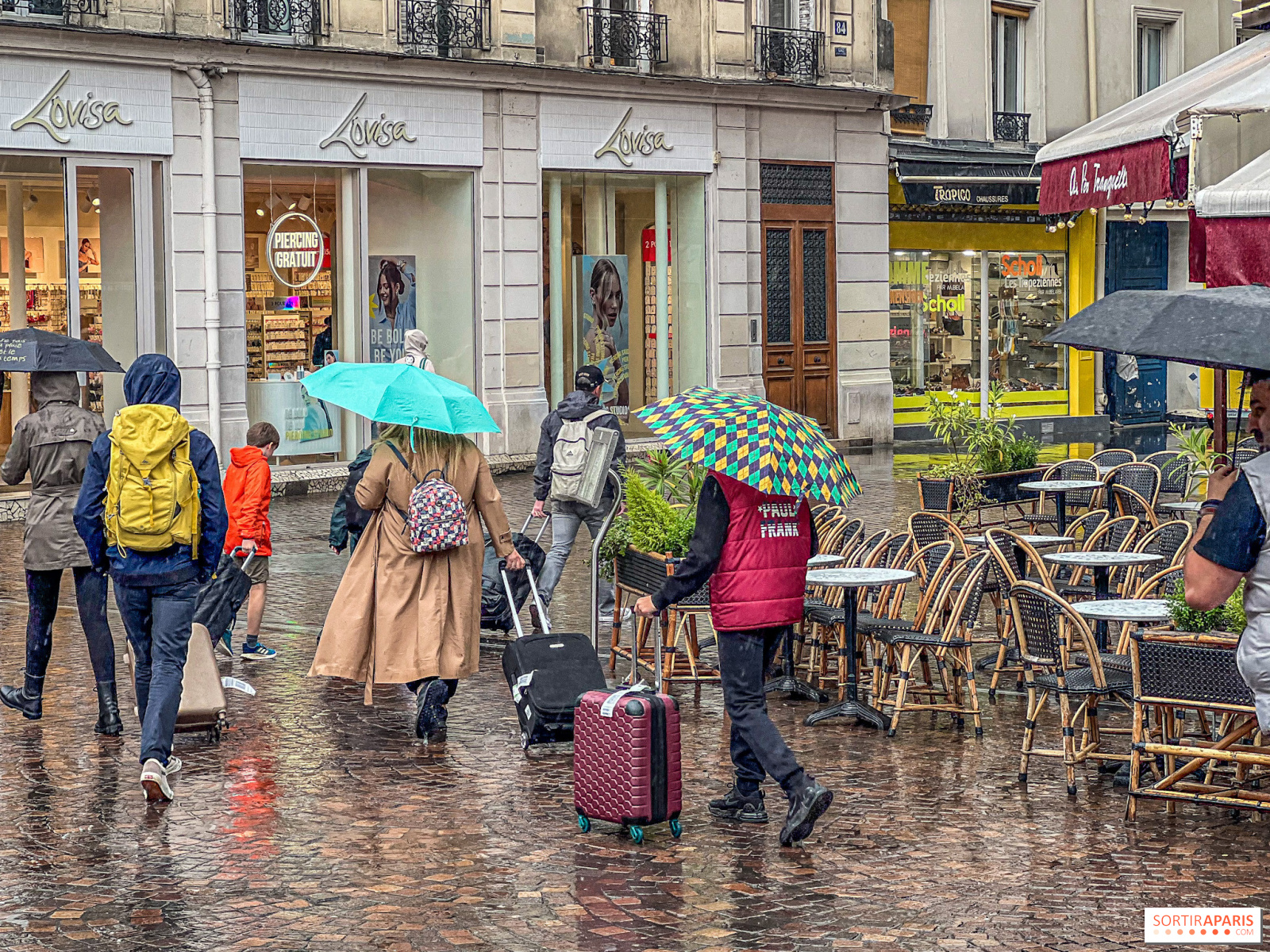
After months of drought, France’s weather could swing by the end of autumn 2026. The latest seasonal trends published by Meteo Paris envisage a return of frequent rain, gusty winds and a risk of storms, with a turning point expected from mid-October and especially in November. In Paris and the eight departments of Île-de-France (75, 77, 78, 91, 92, 93, 94, 95), people will have to wait a few more weeks before the skies start to cloud over.
For the moment, nothing is moving. After the hottest summer ever recorded in France, this September remains under the influence of high pressure, with heat that keeps lingering and rainfall still nowhere to be seen.
The second half of September is not expected to reverse the trend. From the weekend of September 19-20, 2026, a high-pressure system will strengthen off the nearby Atlantic, ahead of another anticyclonic block anticipated to settle over France the following week.
Result: days of bright sunshine, afternoons still warm for the season, and a drought that continues to worsen through the end of the month. The spell of calm weather could even extend into early October 2026, according to long-range forecasts.
The relief would come in the second decade of October. Several scenarios anticipate the end of the anticyclonic spell during the week of October 5–11, followed by a shift to a more depressional pattern from October 12–18. The second half of the month would thus be more unsettled than the first, signaling the true return of humidity.
It will be in November that the shift should become clear. The geopotential lows are expected to push into western Europe, bringing a potentially vigorous depressional ocean current to our regions.
In practical terms, this means frequent and sometimes heavy rain across a large part of the country, enough at last to push back the drought that has lasted for several months. This kind of setup also lends itself to gusty winds and storms, with low‑pressure troughs moving near the country. Of course, these phenomena can’t be forecast weeks in advance, but the overall context looks favorable for their development.
The record-breaking El Niño episode taking shape is tipping the scales. The phenomenon is likely to strengthen the zonal flow—the west-to-east jet that traditionally carries Atlantic weather systems.
November looks set to be more than just a damp interlude. Seasonal outlooks for winter 2026-2027 point to a strong Atlantic flow, and all climate models agree that the end of this year and the start of 2027 will be wetter than average across much of continental Europe. That ocean-driven moisture would also bring warmer-than-normal temperatures, a classic pattern when the westerlies dominate and push cold air away from France.
Still, caution is warranted. Multi‑week forecasts carry sizable error margins, with reliability around 60%. They offer a broad direction, not a day‑by‑day calendar.
Meanwhile, Météo-France is aligned with that view in its three-month outlook: the favored scenario for September, October and November 2026 points to lower pressure over the near Atlantic, a warmer-than-usual quarter, and above-average rainfall in western France. The seasonal forecasts are updated regularly, so it’s best to follow them week by week.
As we wait for rain, water restrictions remain in force in Île-de-France. The department-by-department status is available on the DRIEAT Île-de-France site, and the City of Paris reiterates the daily measures households should adopt. It’s also worth noting that a single rainy month won’t refill aquifers emptied by months of drought: relief will come gradually, over time, not with one storm.
To stay informed, keep an eye on our weekly weather update for Paris and the Île-de-France region, updated every week. And to grasp the scale of the current shortfall, our piece on the tightening of water restrictions in Yvelines offers a clear sense of what the region has been enduring since this summer.
This page may contain AI-assisted elements, more information here.