The snow might well make a comeback in Paris and across the Île-de-France this Wednesday, February 18, 2026. Just a few days after the recent snowfall that affected the region this Sunday, the weather forecast for the week suggests a new weather system. A depression, pushed southward by cold air lingering in the north, is expected to settle over France between Wednesday evening and Thursday, bringing precipitation that could turn into snow due to the cold.
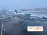
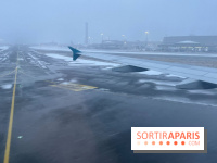
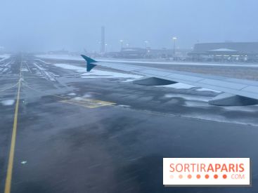
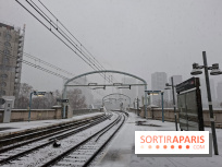
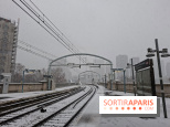
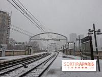
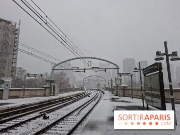
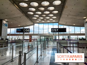
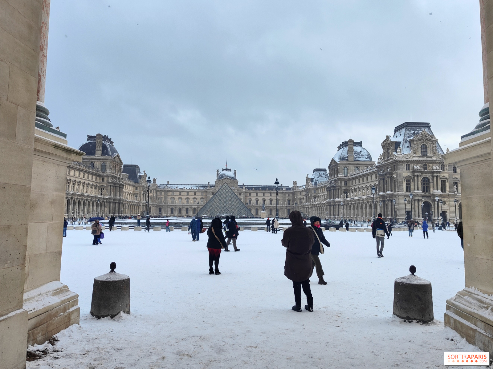
Just as the chaos from Sunday winds down, it looks like we might be heading straight into it again. Ile-de-France was placed on an orange alert for snow and ice by Météo France, covering all eight departments and expecting 1 to 5 centimeters of snow in some areas. The immediate effects were clear: disruptions in transportation and reduced speeds on the roads, while numerous flights were canceled at Charles de Gaulle and Orly airports. In the end, Paris itself largely avoided being covered in white. The snow blanket only temporarily affected some departments in the region, causing transit issues and limiting road circulation. Departments such as Seine-et-Marne and Val-d'Oise bore the brunt of the conditions. Meanwhile, the northeastern part of France experienced snowfall exceeding 5 centimeters in the Ardennes and northern Lorraine.
The cold air is set to make an immediate return to the northern half of the country early this week. In this context, the depression expected on Wednesday could bring additional snowfall. Significant snowfall remains a real possibility, especially between Normandy, Île-de-France, and all regions north of the Seine, according to meteorologist Guillaume Séchet on meteo-paris.com. As forecasted by Franceinfo Météo, temperatures in Île-de-France are not expected to rise above 3°C to 4°C this Wednesday, creating favorable conditions for snow to settle if the predicted precipitation occurs.
For now, it's a bit early to provide precise figures. Meteorologists warn that there remain uncertainties about the exact regions affected and the storm's intensity. The specialized website meteo-paris.com nonetheless mentions the possibility of snowfall totals reaching up to 10 cm in certain areas—reminding us of the significant snowstorm on January 7th, when RATP buses were completely suspended across Île-de-France, and speed limits were reduced to 70 km/h on regional roads.
If this episode confirms the forecasted snowfall totals, we should brace for significant disruptions on roads and public transportation across Île-de-France. During the last storm, major routes like the N118 and A86 experienced major delays, and airlines had to cut back flights by 30% at Roissy and 20% at Orly. As France 3 Île-de-France reported, such storms can quickly bring the region to a standstill. We recommend closely monitoring updates from Météo France and Île-de-France Mobilités over the next few hours. Forecasts are expected to become clearer by Tuesday evening.
In short, winter is far from over in Île-de-France this February 2026. We'll keep an eye on upcoming weather reports and update you as the situation develops. In the meantime, it's best to keep your scarf, hat, and sturdy shoes within reach.
Recommended age
For all